Eric2Tex
0
Rebecca creek rd, at the guadalupe river, close to new braunfels, 2007.


 Feel free to hang out and lurk as long as you like. However, we would like to encourage you to register so that you can join the community and use the numerous features on the site. After registering, don't forget to post up an introduction!

Rebecca creek rd, at the guadalupe river, close to new braunfels, 2007.

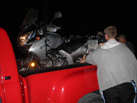
This wasn't exactly "impassible" for me but it was for every bike out there and yes some did try and it is safe to say they had one heck of a time fishing them out.

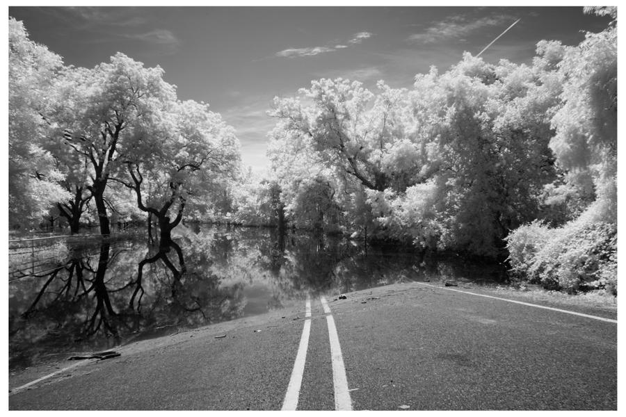
RR 962 flooded by the Pedernales River. Obviously not taken anytime in the last few years.


RR 962 flooded by the Pedernales River. Obviously not taken anytime in the last few years.


Here's the crossing on Sandy Creek on that same day.

where is the road on the other side?
this looks more like a boat launching ramp ......
Hamilton Pool Road (RR 3238) July 2007


1431 south of lago vista, summer 07
Looks familiar


 . There was no way we were going to get out that day, so we camped at the mission, then got up early to fight our way back the way we came. It didn't help that we were out of water either. Pictures never do justice, but this hill (which came immediately after a very tough, deep swamp) was very steep and off-camber (in the wrong direction too), with a tight bend to the right about 1/2 way up. The boulders were basketball to beachball sized, and for some reason I refused to unload my XR
  . After returning home I decided to research the old mission, discovering that it was nicknamed "Mission Impossible"

The "crossing" (Photo courtesy of Scott):
The 4wd quad had just crossed, but not without some tense moments... so we went up-river
