Feel free to hang out and lurk as long as you like. However, we would like to encourage you to
 - Joined
- Feb 28, 2003
- Messages
- 51,257
- Reaction score
- 8,288
- Location
- Huntsville
- First Name
- Scott
- Last Name
- Friday
Day four... Thursday.
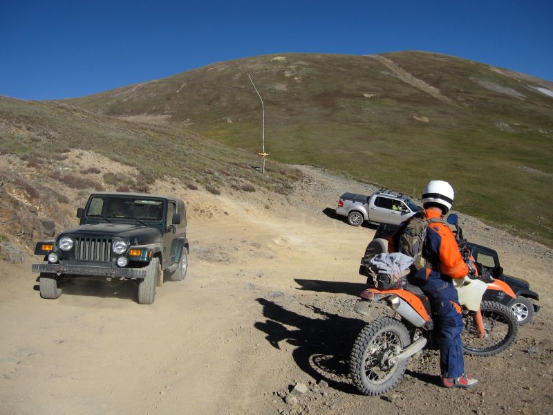
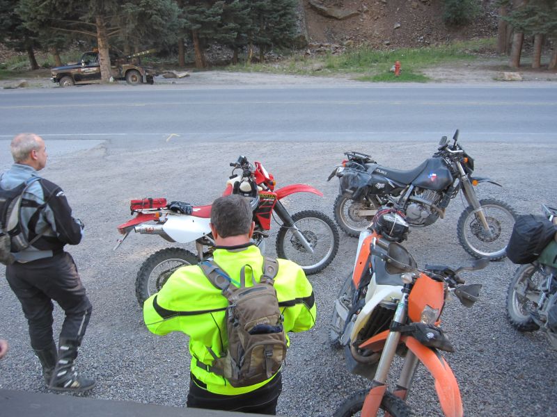
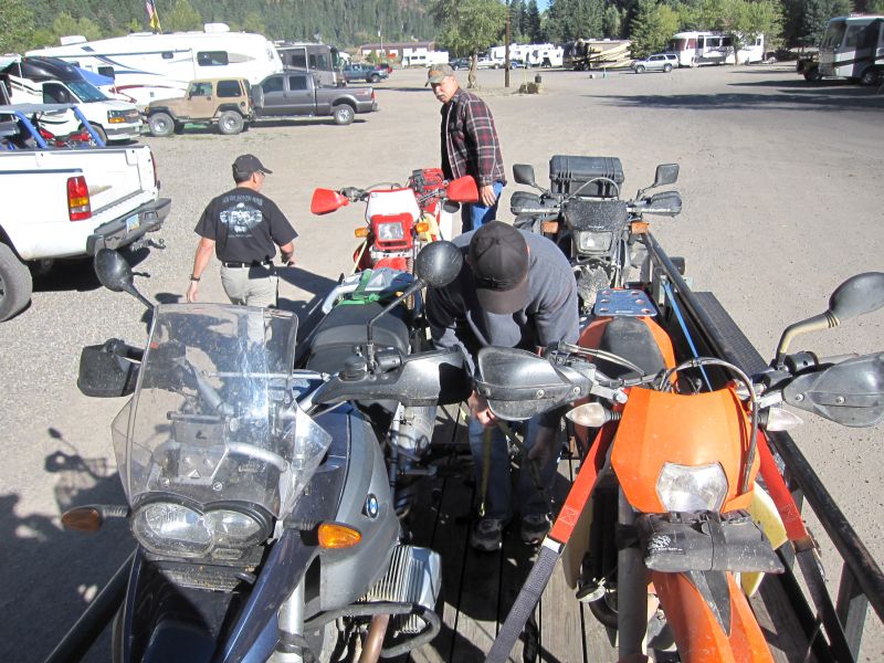
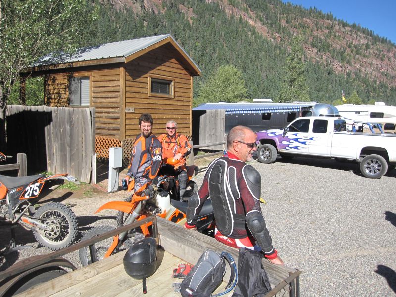
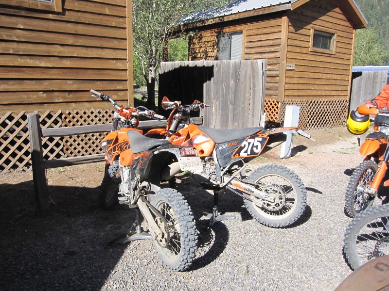
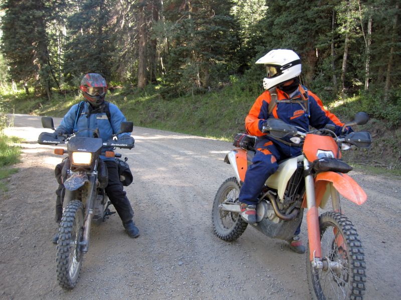
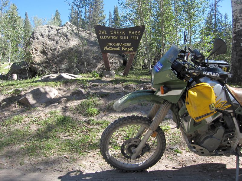
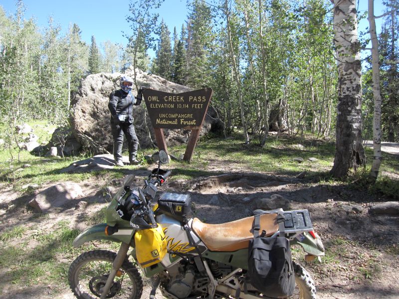
 Today is the last day of riding for some of the guys. The plan for today is to hit Ophir Pass, then work our way South to Scotch Creek Road or maybe do Bolam Pass again. Everyone gathers outside our hotel in the morning, this time Steve and Bob are there and ready to roll before everyone else, intent on not being left behind this time
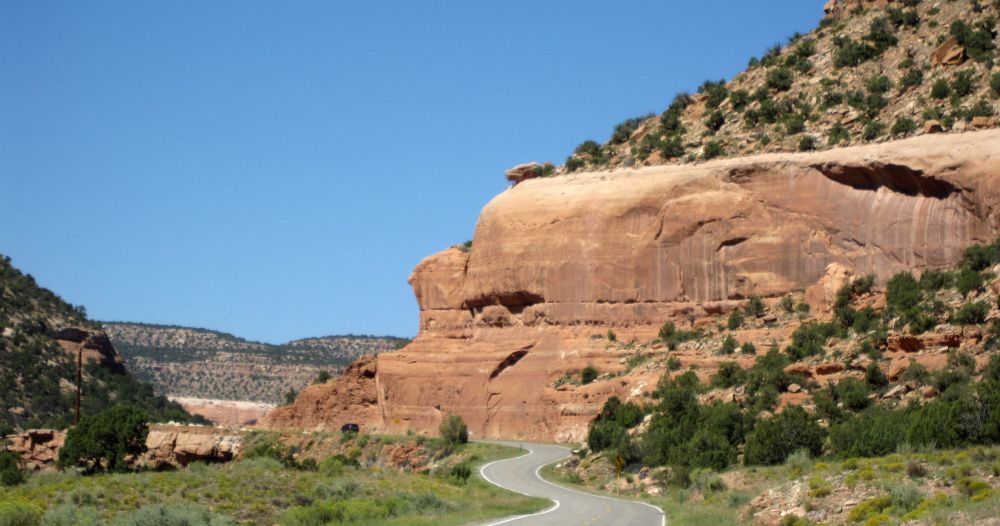
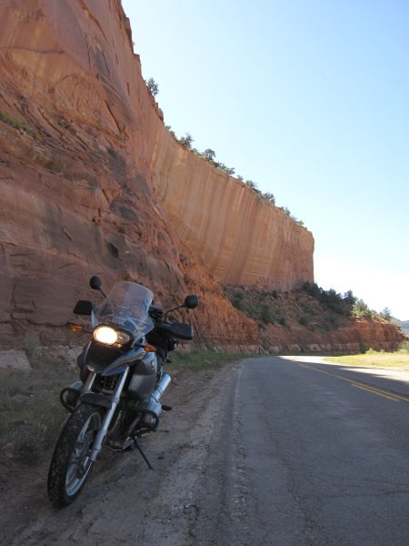
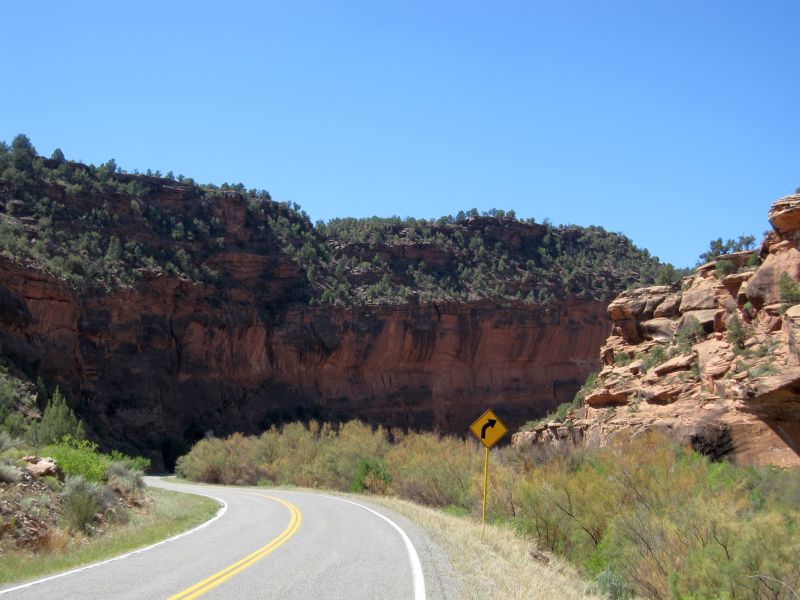
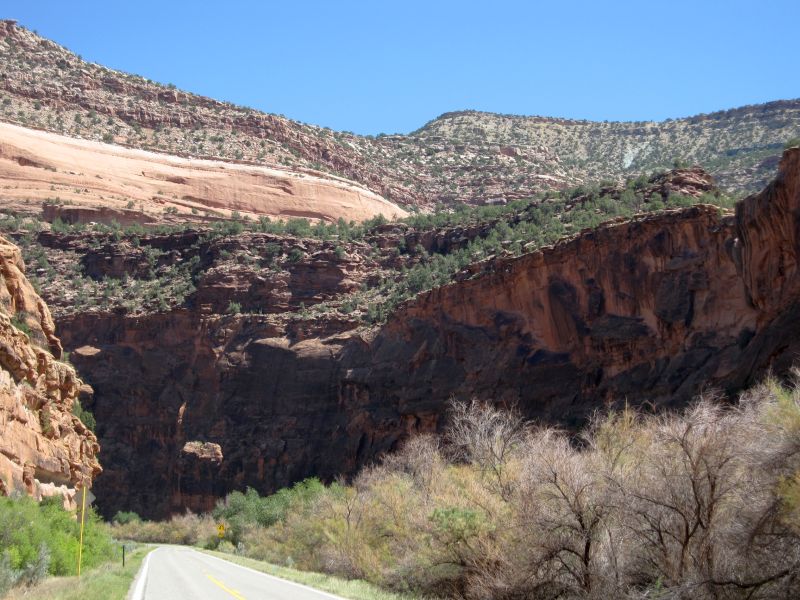
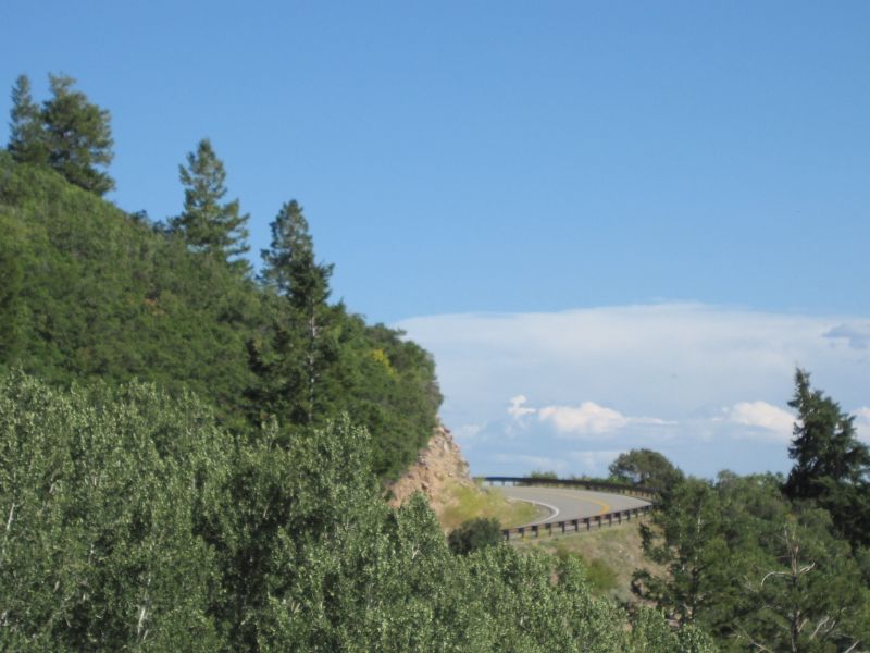
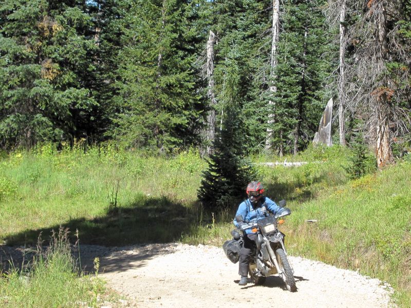
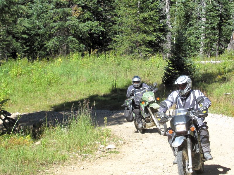
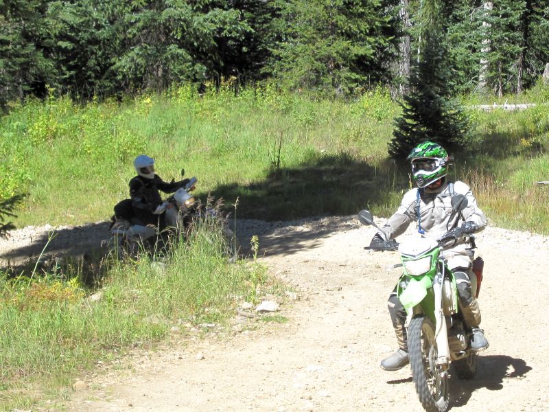
  As is usual, the temperature is in the low 50's while the sun still hides behind the Eastern ridge of mountains. We head South on US 550 again, having to ride almost to Silverton to find the start of Ophir Pass Rd.
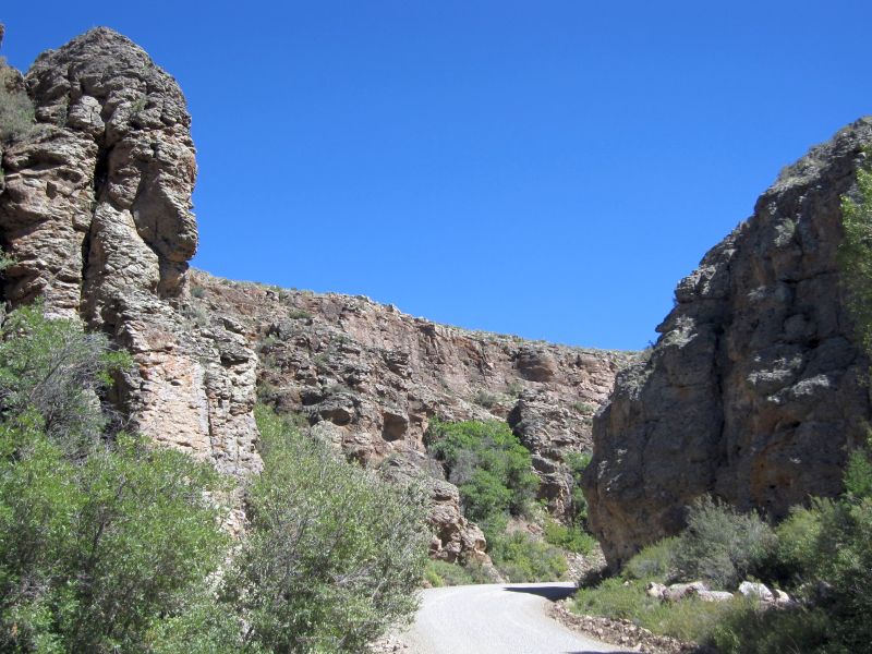
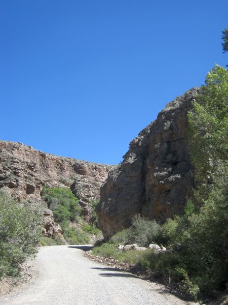
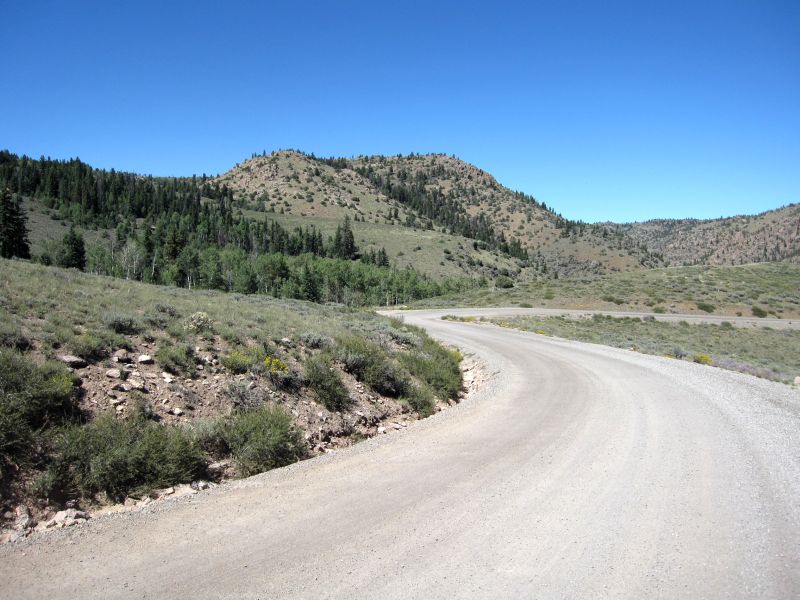
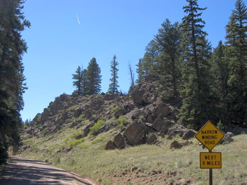
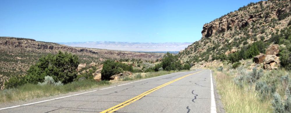
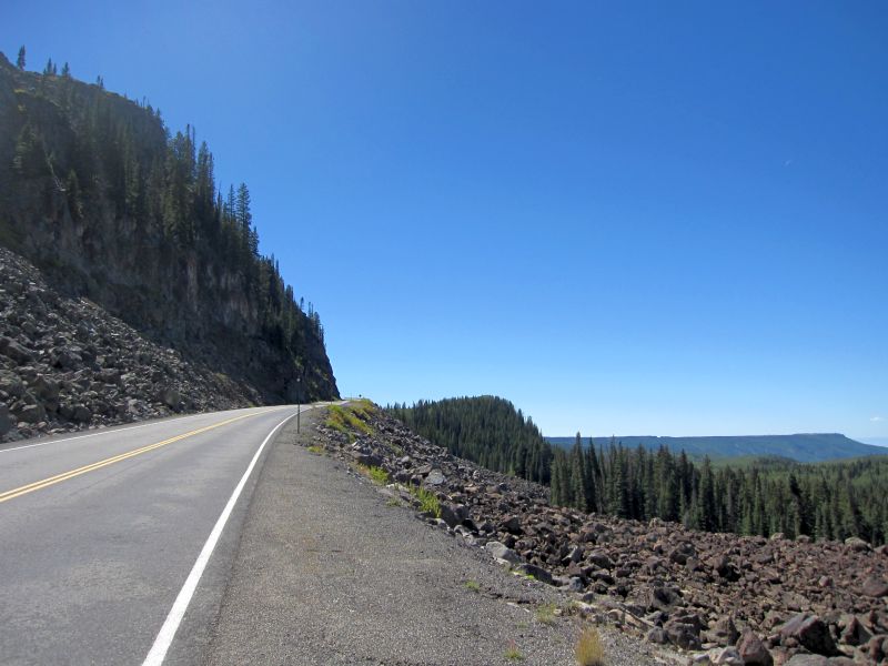
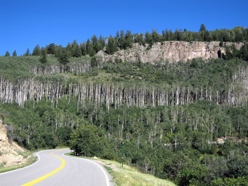
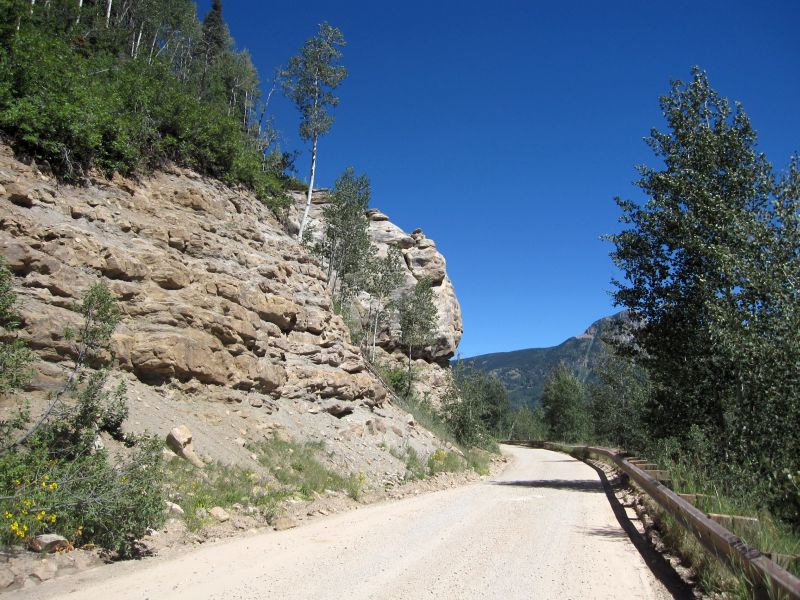
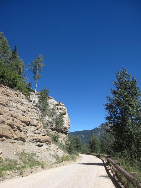
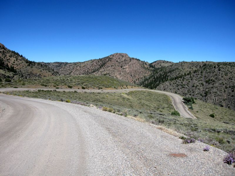
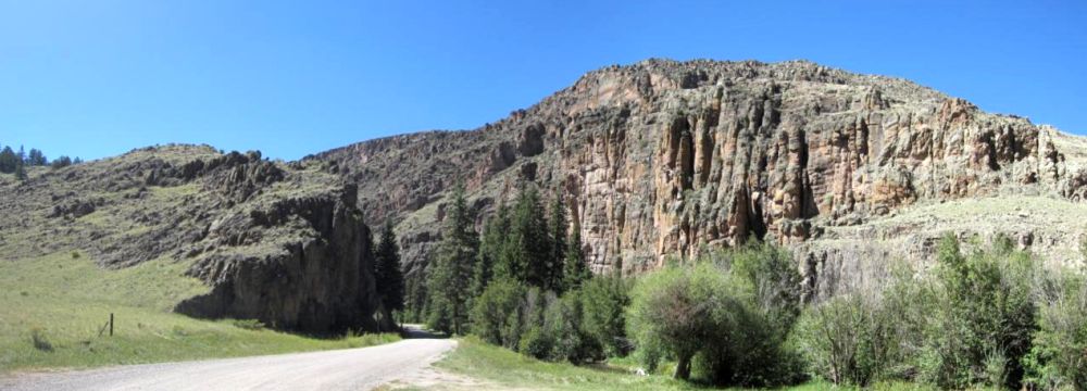
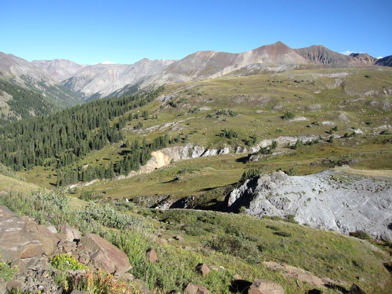
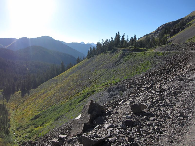
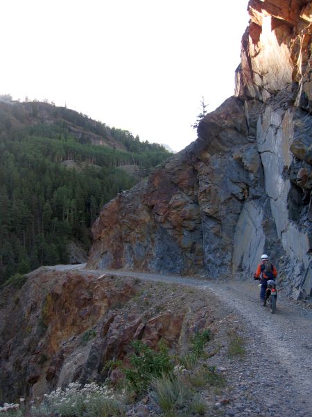
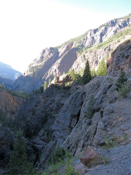
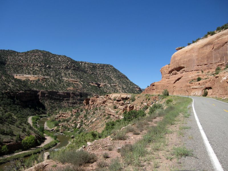
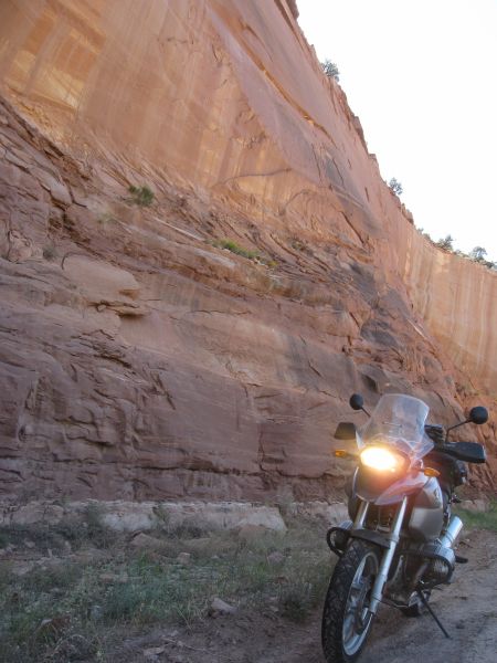
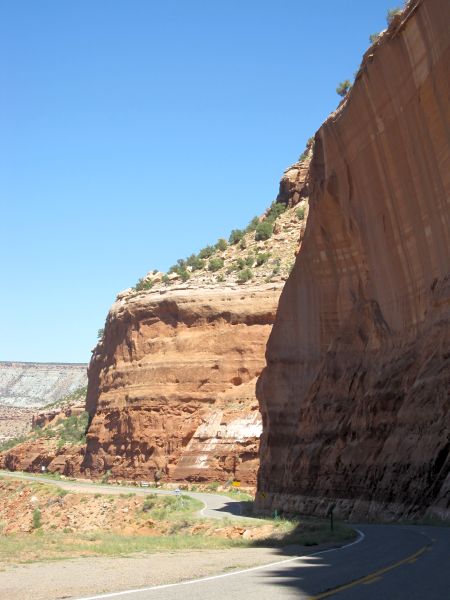
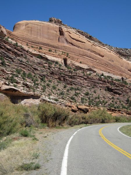
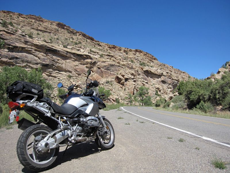
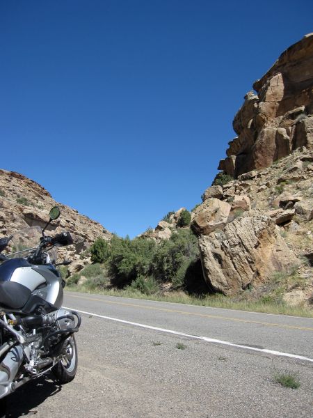
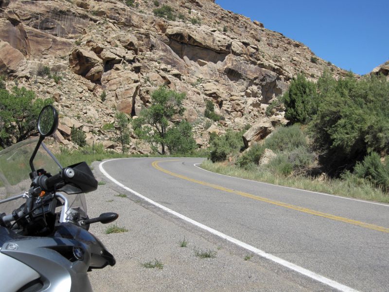
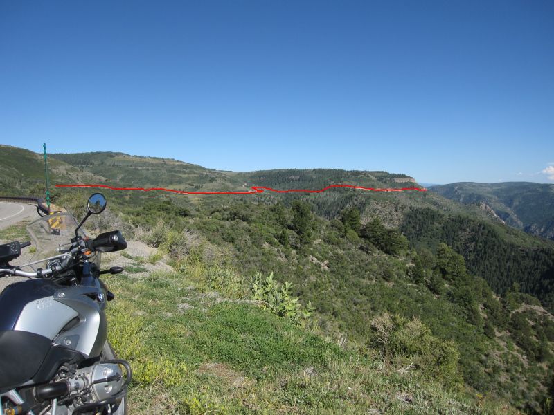
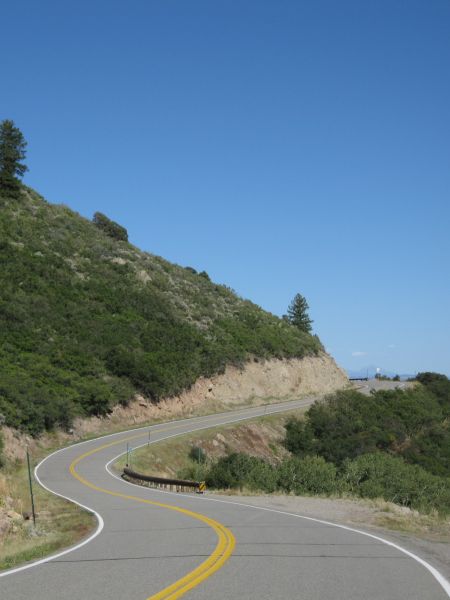
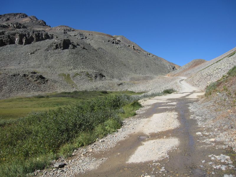
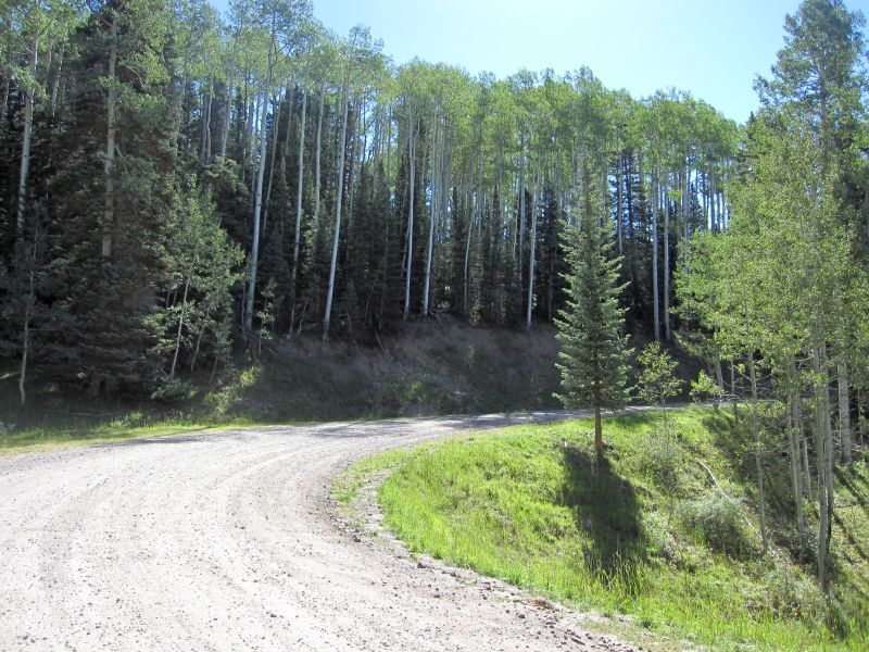
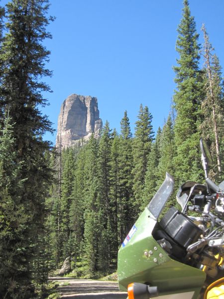
The road starts out pretty easy, starting out around 10,000 feet at US 550 and climbing to around 11,800 feet at the pass. There are some rocky switchbacks early on, but then the road just kind of follows the side of the mountains.
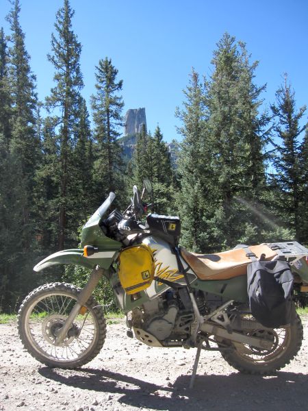
Approaching the pass
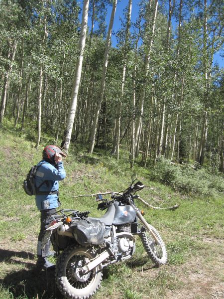
I am the first to reach the pass and what do I find...? A KLR rider sitting there taking in the view. So I pull up and greet him, then get my own shot of the view.

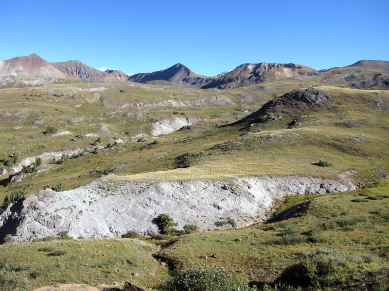
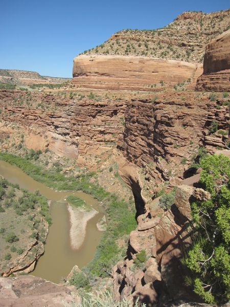
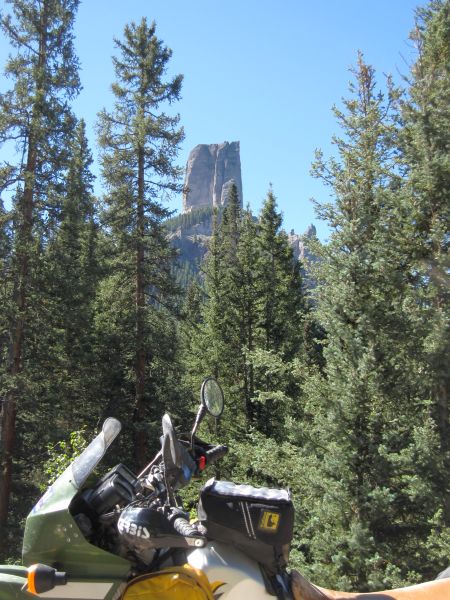
Looking down from the pass on the West side

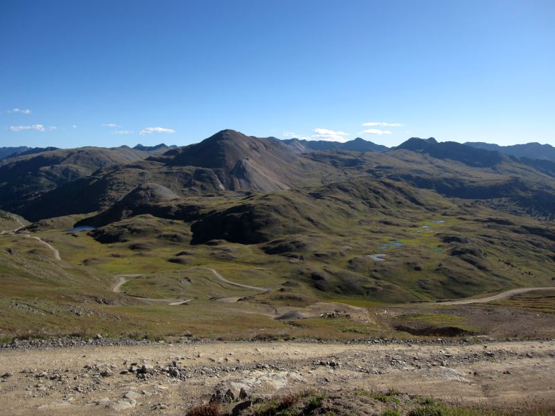
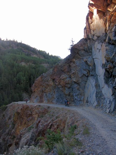
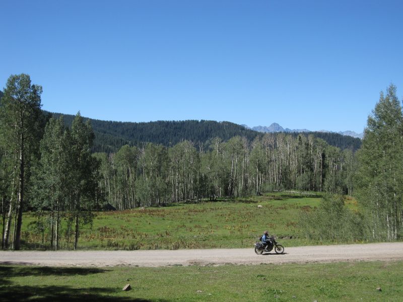
There's a pretty steep switchback just ahead
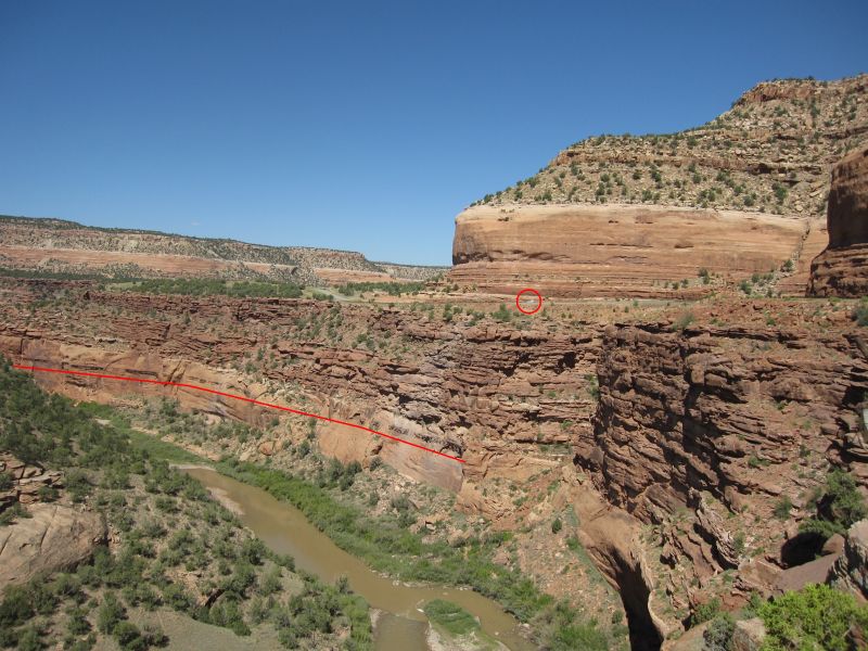
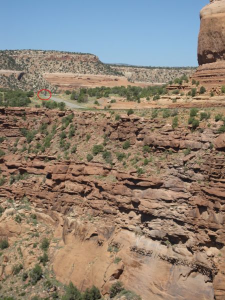
The three red circles are around jeeps, just trying to give a hint about the scale

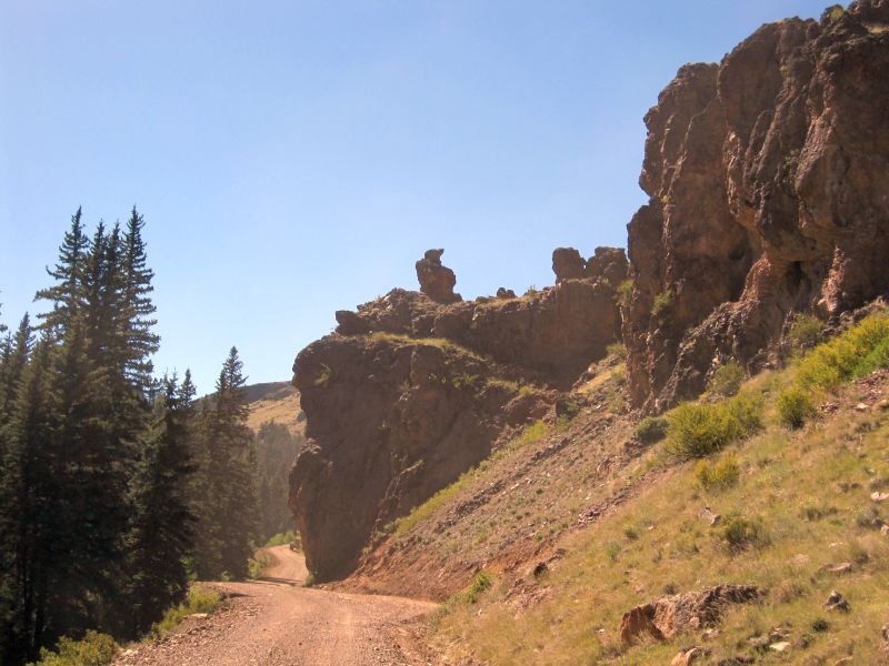
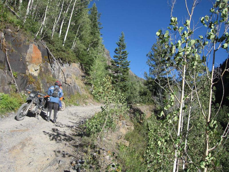
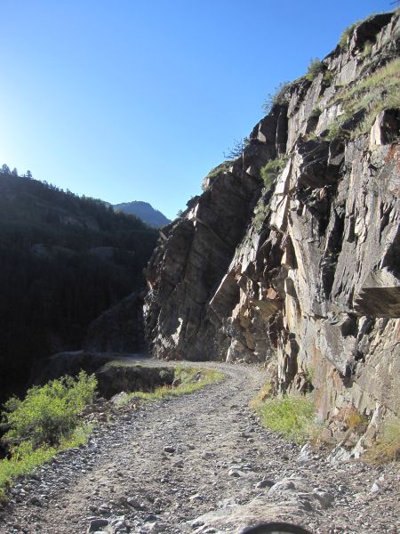
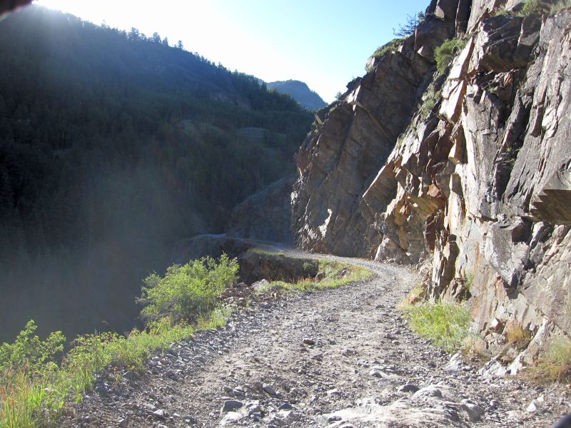
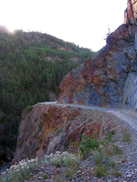
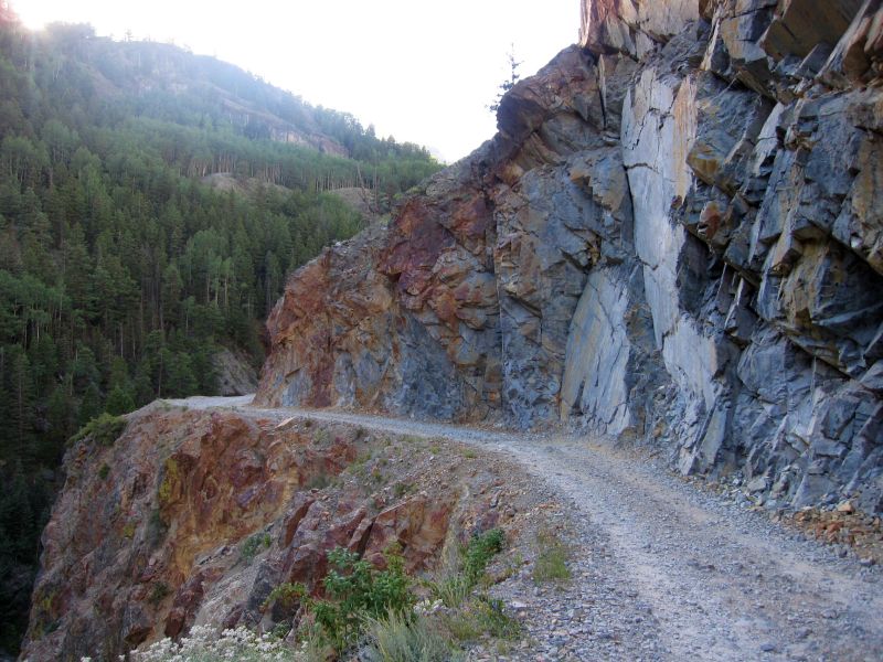
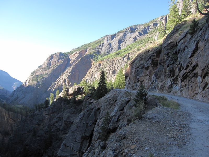
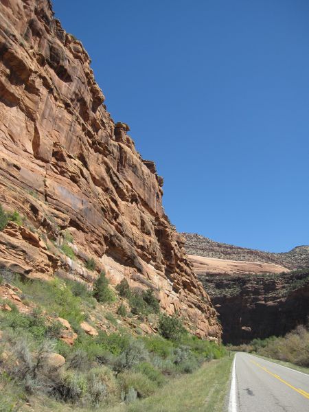
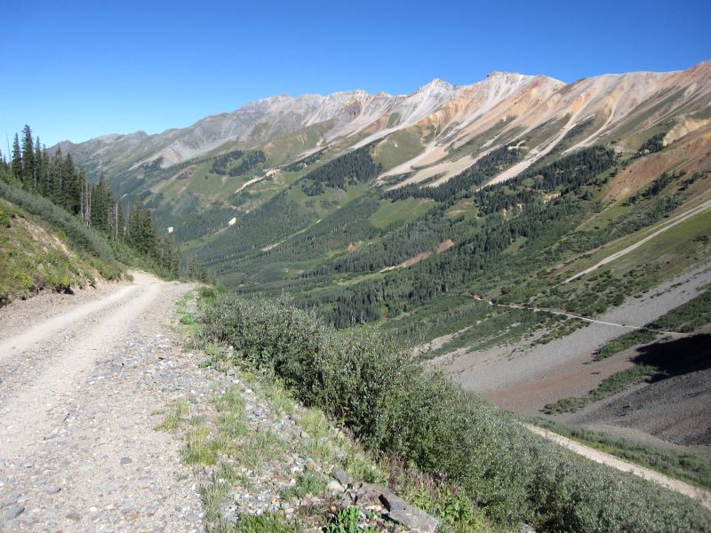
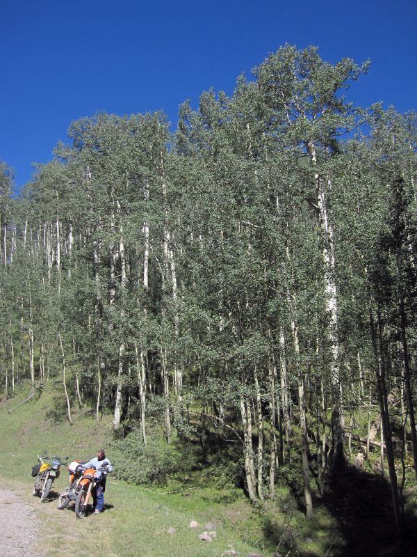
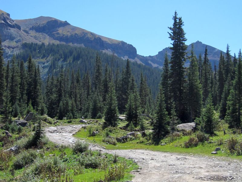
This pass has been a nice easy ride. However, I can see that if the rocks were not kept clear of the road, things could be quite challenging! I see what looks like bulldozer track marks on the shoulder of the road, making me think it has been recently cleared. Once we clear the rock falls shown in the picture above, the road just runs along the side of the mountain down through the woods into the valley. We reach the "town" of Ophir at the bottom. This place is mostly a collection of homes that are not what we've come to expect after riding through places like Telluride where homes in the $1 million range are considered entry level. Most of the homes here look like they are inhabited by folks that play the lottery but never win it. There is a post office though... but not much else. As we ride out the far side of town, I pull in behind a few other guys on dual sport bikes and follow them to the highway where we stop for a break.
That ghost in the middle is Roger... he moved
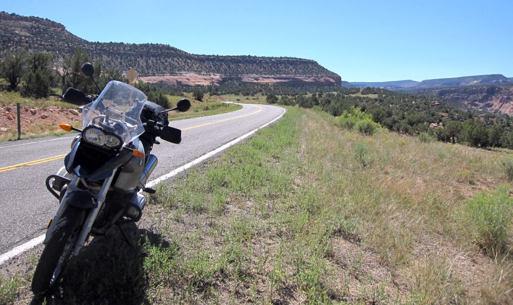
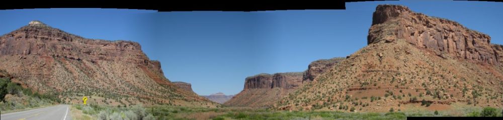
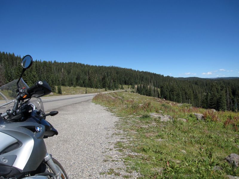
By default, I have become the ride leader today. So... taking advantage of that role, I decide we will just revisit the route over Bolam Pass from yesterday. Bill and RG enjoyed it so I figure the rest of the group would probably enjoy it as well. But first... there is this other little road I noticed on the map that looks interesting. So we head South on Hwy 145.
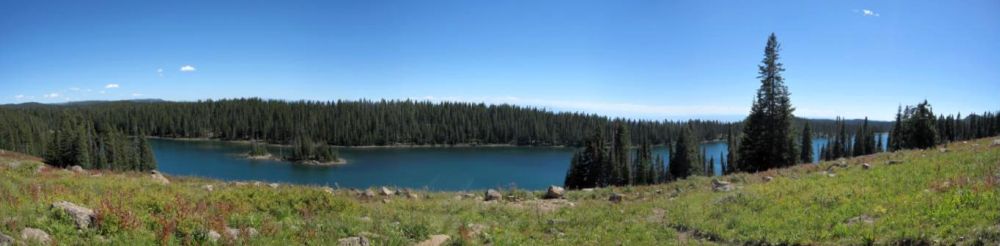
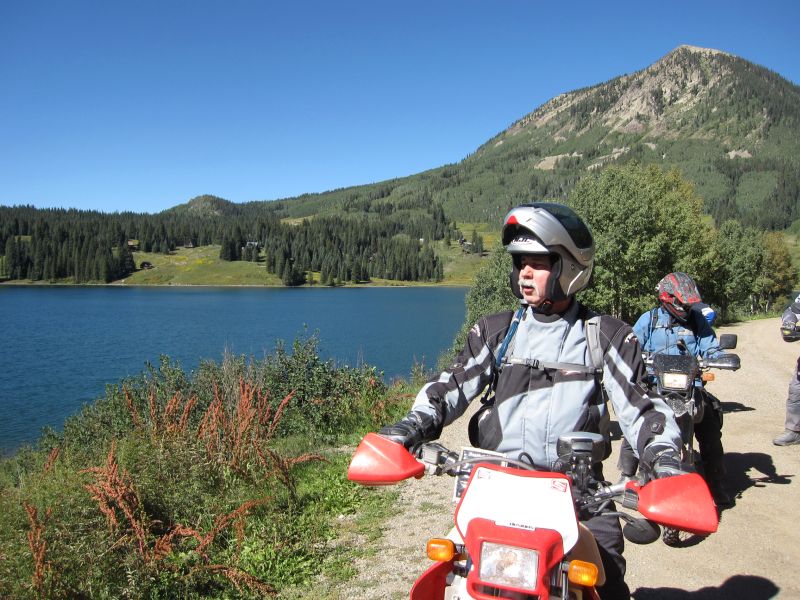
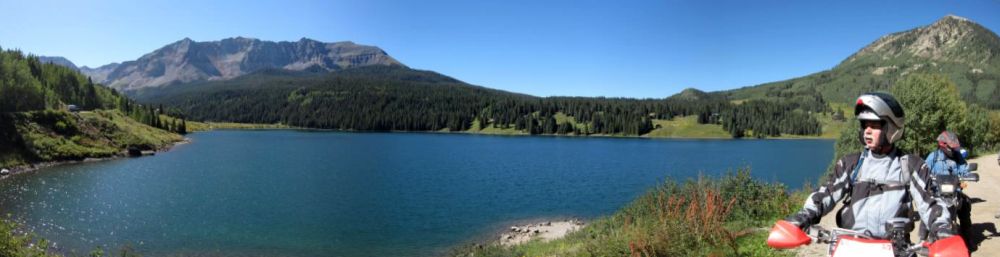
This is Trout Lake with Sheep Mountain in the background

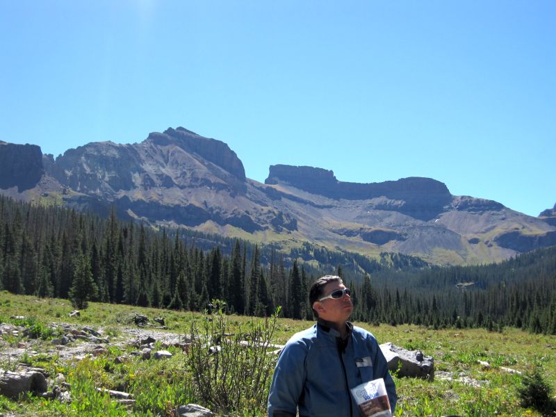
Steve with Black Face Mountain behind him
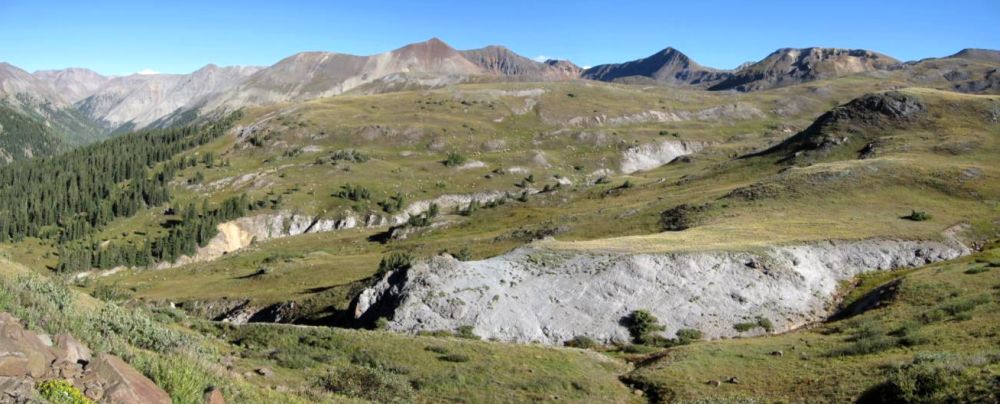
The whole view
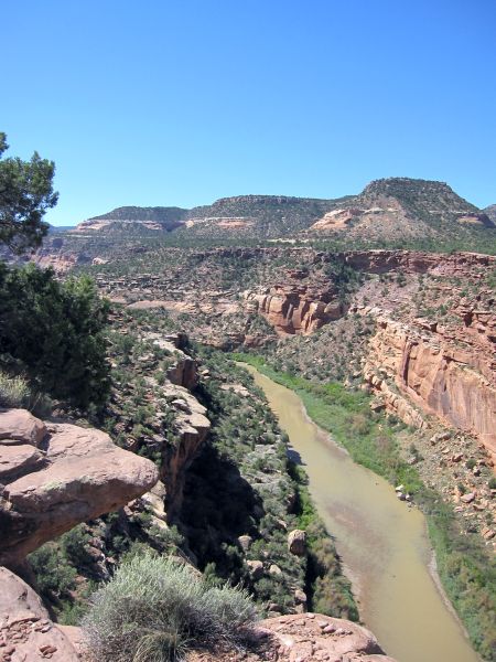
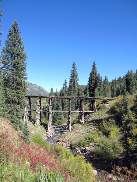
The road wanders back around behind the lake where Lake Fork creek flows into Trout Lake via Groundhog Gulch. Here we find the remnants of an old rail line. No way to ride out on it though...
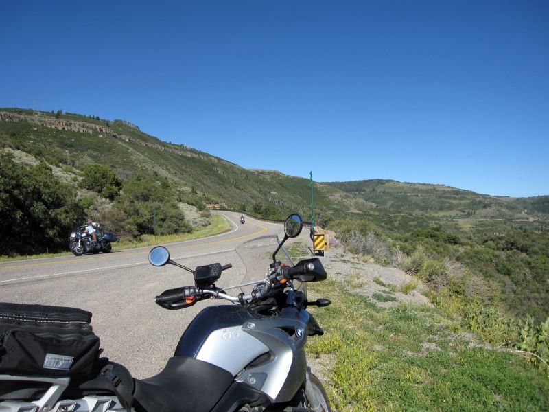
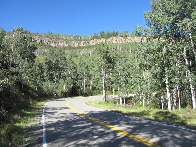
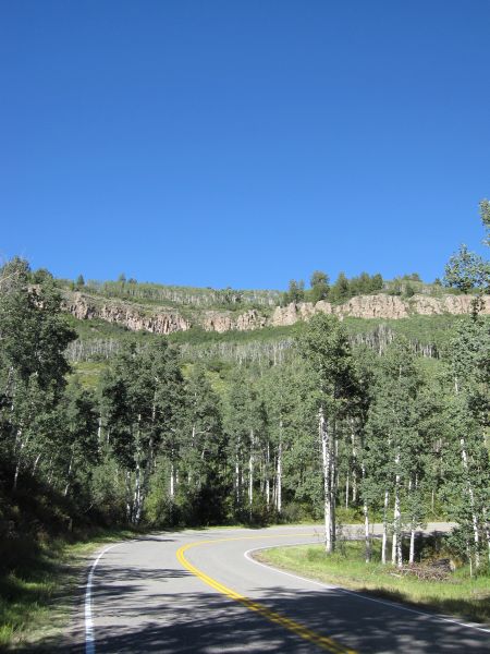
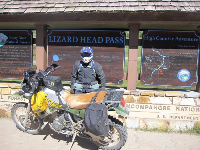
The road continues on around the lake, crosses Lizzard Head Creek and eventually rejoins Hwy 145 right at Lizzard Head Pass. The ride up Hwy 145 from Cortez over Lizzard Head Pass to Telluride is a great paved ride!
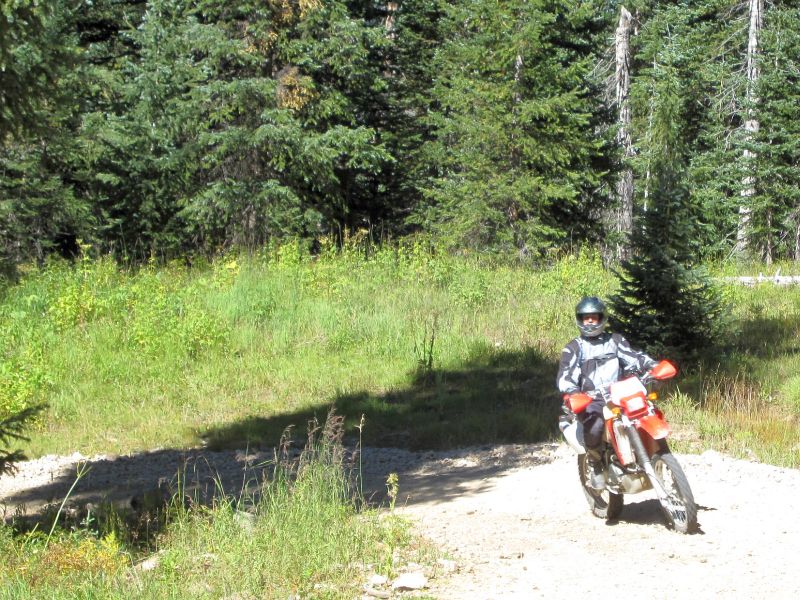
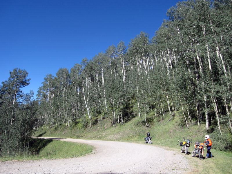
Now we have to do some pavement riding for a bit. I don't mind, but I think some of the other bikes may not run highway speeds real well. Fortunately, we are not going too far. Just down the highway we intersect the Delores River and then cut over to Barlow Creek Rd and start our climb to Bolam Pass. Once again, I settle into first gear for the steady and long climb. About two thirds of the way up, I stop after a series of switchbacks to take a break in the shade and get some pictures of the other riders.
Steve on his XR650R
Bob on his DR650
RG and Bill on their KLR 650's
Chuck on his KLX 250
Chris on his DRZ400

George on his DRZ400(?)

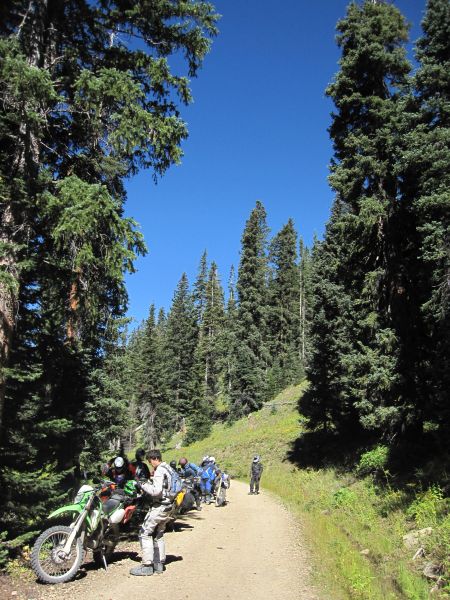
Time for a break
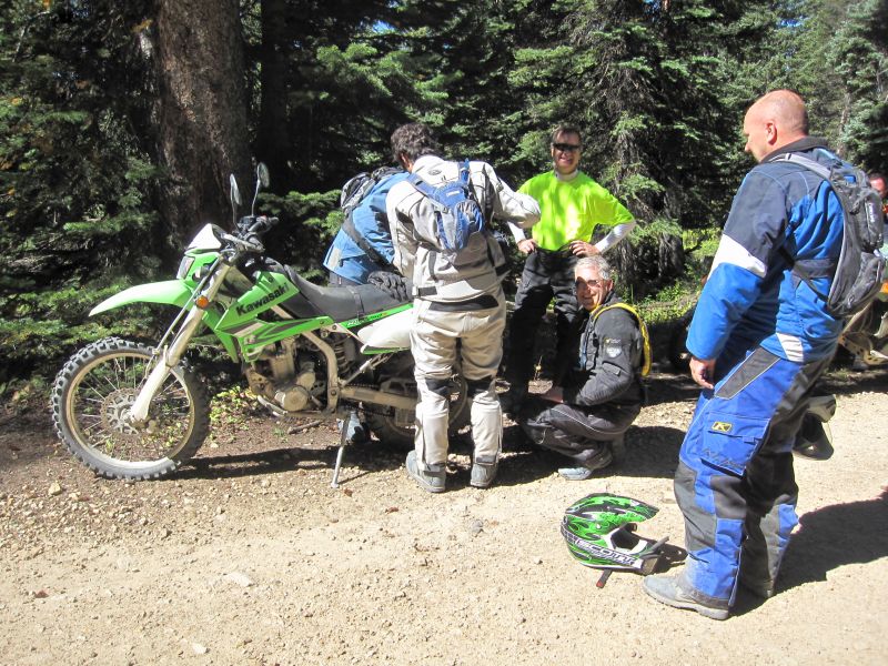
While we are stopped, I happen to be sitting behind Chuck's KLX and I notice that his little spare gas tank is hanging kind of funny on the back of his bike. When I point this out to him, we find out that seven of the eight bolts that hold it on are missing their nuts or are gone entirely!! I can't believe it as still hanging on. In the process of trying to figure out what to do about this, he discovers that the whole rear subframe of the bike is coming apart!!  Time for another trail side maintenance session!
Between the lot of us, we have enough spare bolts, bungees, straps and bailing wire that the bike is good to go in short order!
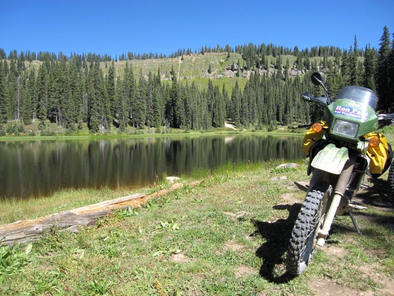
We resume our climb and soon reach the top. Is that not one of the prettiest things you've ever seen...!? The lake that is...")
The wildlife in its natural habitat...

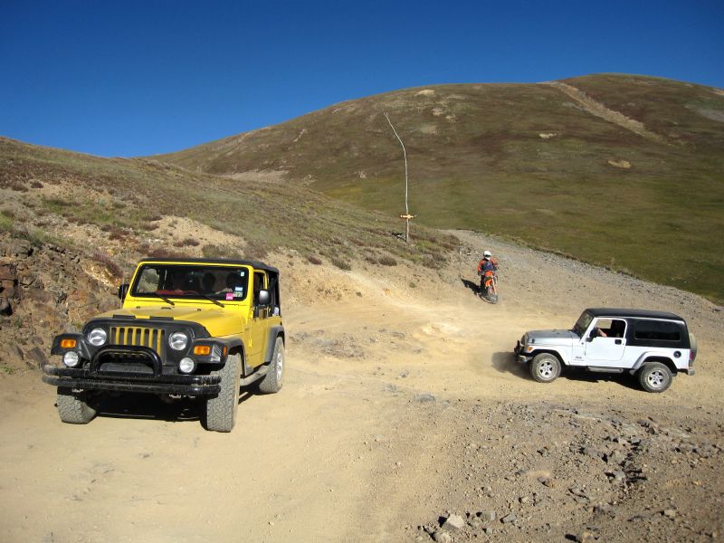
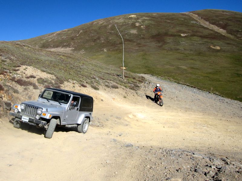
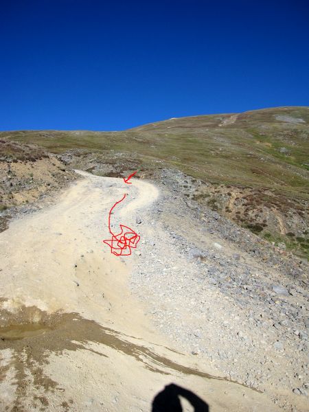
After a quick break, we start down the mountain. I saw a road yesterday that looked like it might be more entertaining than the one we rode yesterday. It starts right next to the cabin that RG stopped to take a picture of yesterday. I turn to head in the direction the map indicates and almost immediate find one of those posts that has all the fun stuff like ATV's, motorcycles, and Jeeps in little red circles with lines through them  Right at that moment, I look up and there is a bow hunter coming down the trail toward us, all decked out in his camo, even on his face, and not looking real happy to see a mess of bikes. We get turned around and head back to the regular road, disappointed that what could have been a great adventure is not to be. So down we go, just like yesterday. I probably should stop and take some pics since I managed not to get any of this section yesterday, but I just get so into the riding that I forget
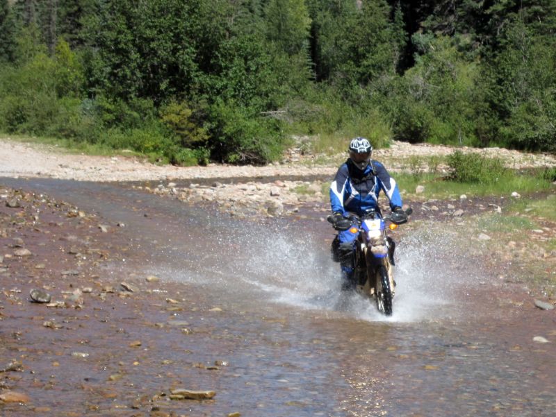
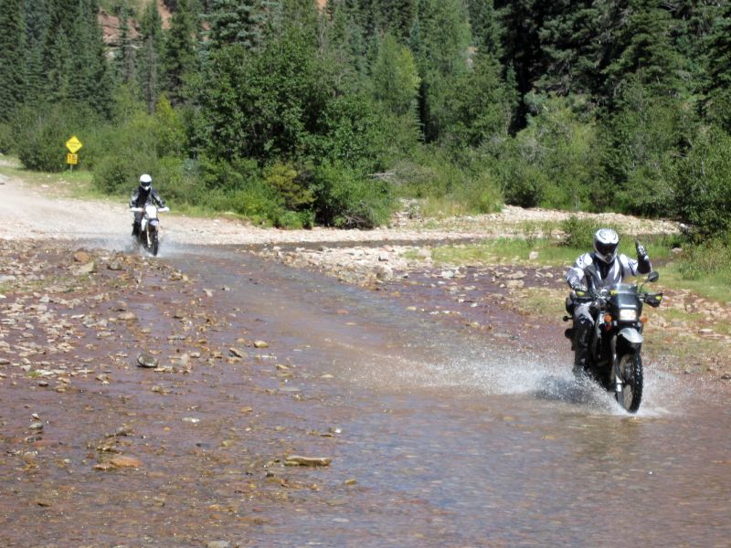
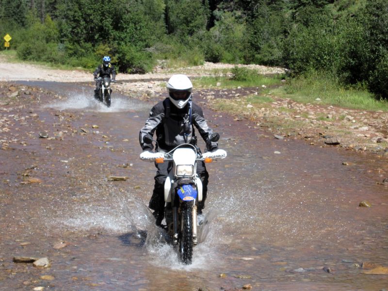
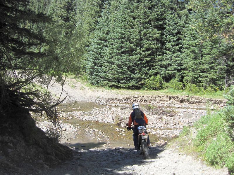
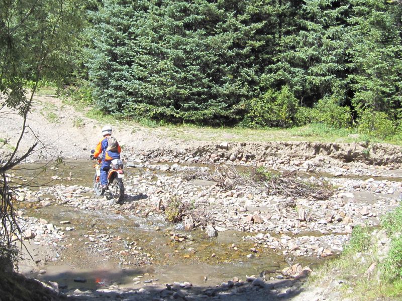
  We soon reach the bottom (9000 feet) of the valley and have to cross Hermosa Creek. I hit the water running and just lay on the gas all the way across. Once across I quickly park and try to motion for the others to wait for me to get out my camera, but the first part of the group just follows me right into the water, so I only catch the last part of the group crossing.
I think this is Chad "Oilfieldtrash" on his Yamaha WR-250(?)
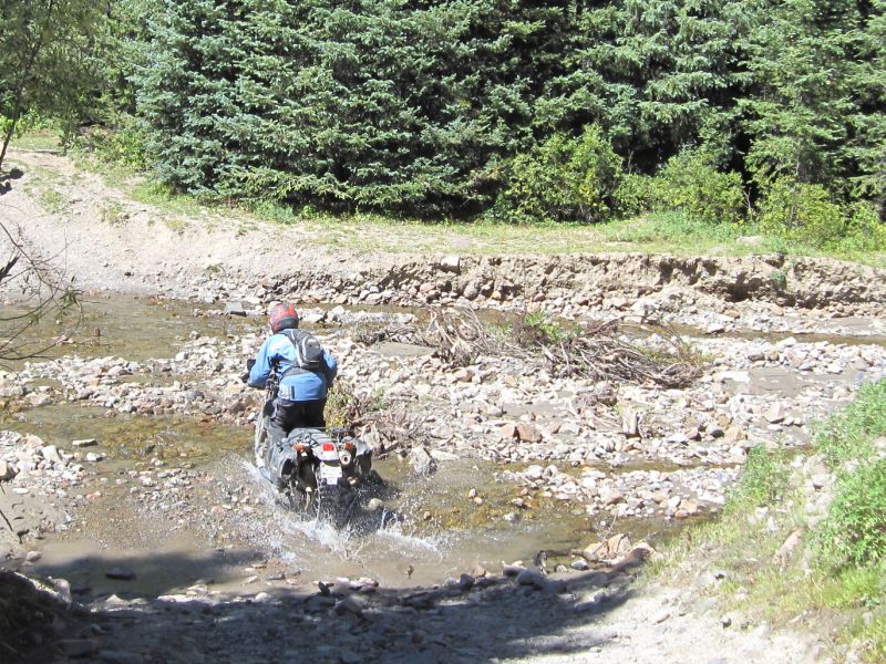
Chuck cleans his boots by holding them in the wheel wake His dismount on the far side is equally impressive
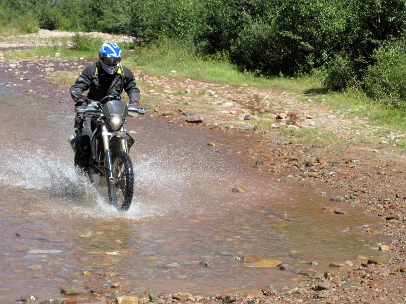
RG risking the thumbs up despite all the big rocks hiding under the water...
Uhhh Chris... I think you are target fixating there bud!?
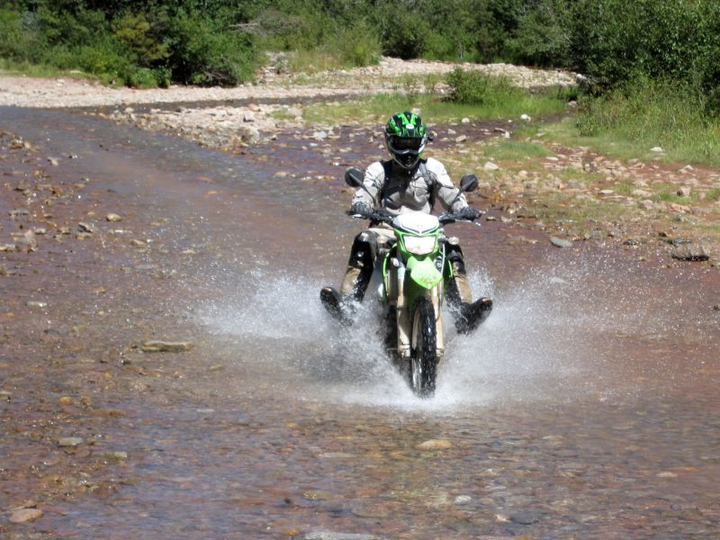
George comes last, making it look nice and easy
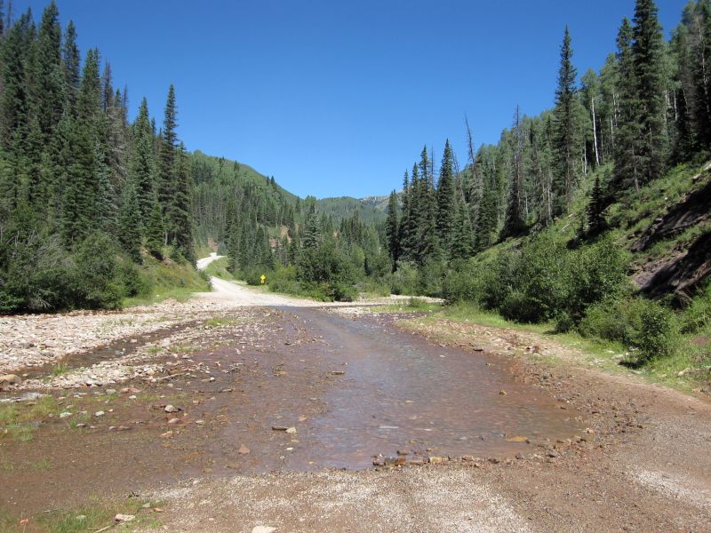
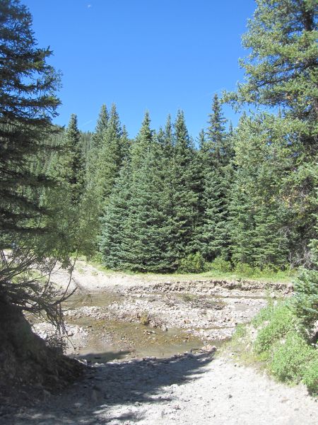
A look at the whole creek. Not much water in it this year
After crossing the creek, the road gets smooth and wide again. I have a close encounter with the front of a fast moving van who is taking a corner on the wrong side of the road, but after that, nothing but fun all the way to the end of the road!
The view on some of the switchbacks right before we reach US 550
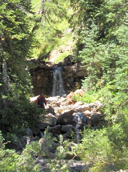
And we stop at the little water fall again before we reach Silverton
And then we hit some construction and have to wait a while... all the while that little tiny road snaking all the way up into the mountains in the distance keeps calling out to me... See it? Right there above the tree line? Looks like fun but it is not on my map...

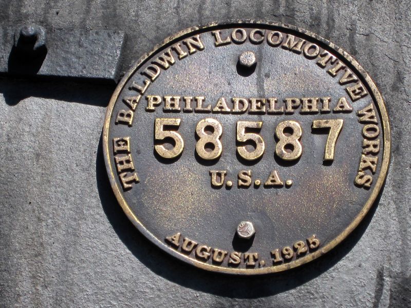
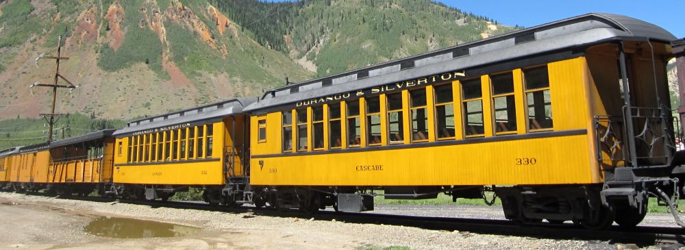
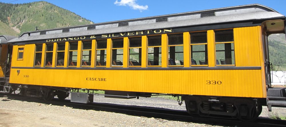
Eventually traffic starts moving again. With nowhere to pass, it means sucking burning brake fumes all the way into Silverton. As we roll into town, I spot the DSNG train parked over at the station and decide to see if I can get close enough to get some pictures. This means hopping a few curbs and what not, but what the heck. When I get up close, the engineer motions for me to come on over and take pics.
This engine is still coal fired. Most that are still running have been converted to oil.
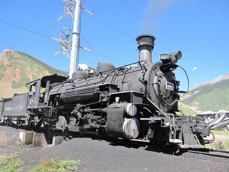
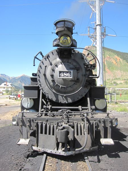

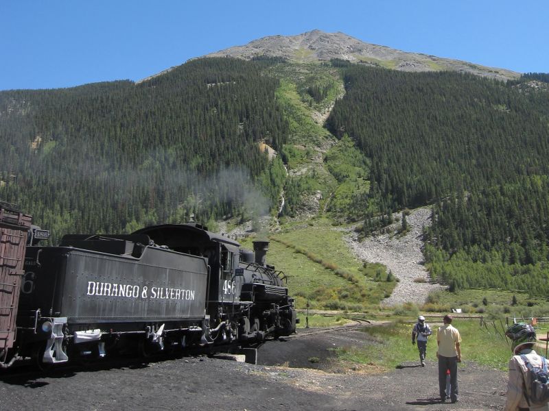
Trains are just cool. It is hard to overstate the impact they had on the development of our nation and other nations of the world during the 1800's and 1900's. This thing may be low tech by today's standards, but they were costly high tech pieces of machinery in their day. Some of the later engines are still far more powerful than the modern locomotives, but they are also FAR more costly to maintain and operate. If power is needed, modern locomotives are easily daisy chained together while still maintaining the cost advantage. They just don't look as cool or evoke the same feelings though 
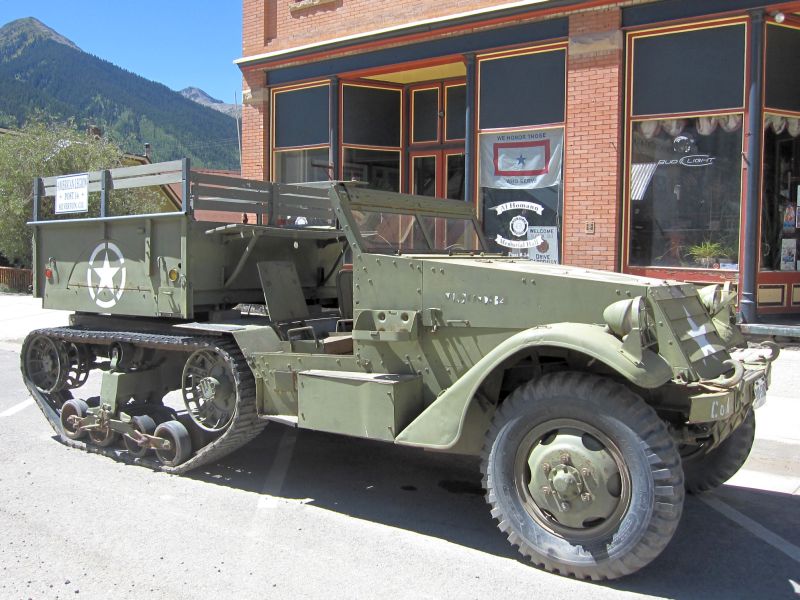
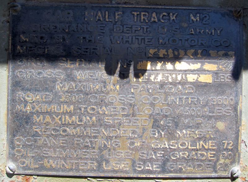
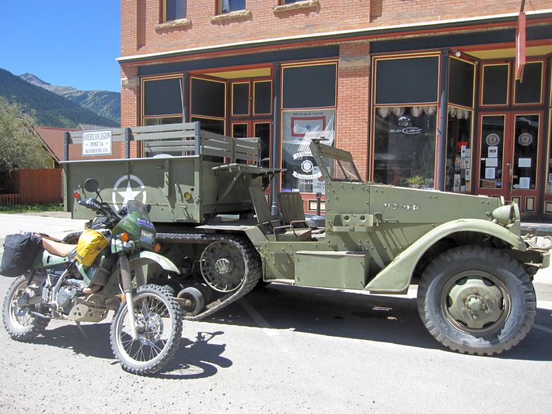
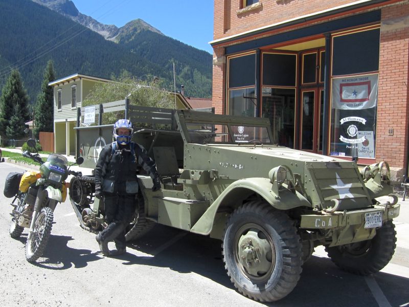
Time to figure out what we are gonna do for lunch. Most of the group has already headed further into town to find a suitable location. I get sidetracked by a half track...
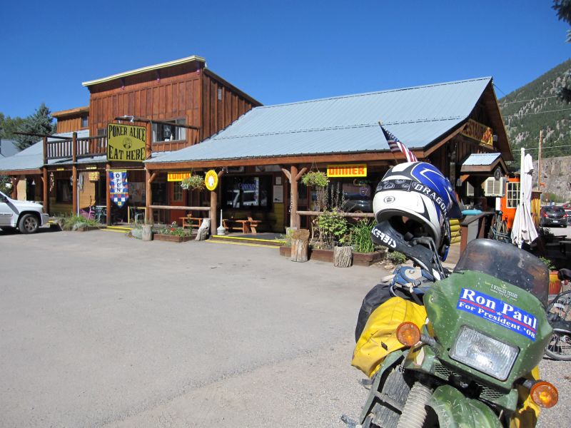
Then it is over to the Black Bear Cafe for a great and VERY reasonably priced meal!

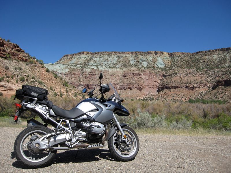
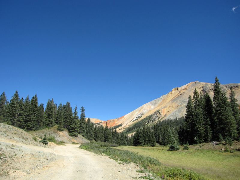
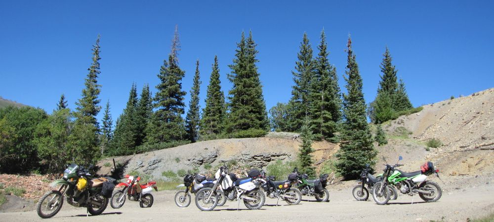
We lose a few riders during lunch, Roger, Scott, Duane and Chad. They are going to head back over Ophir and then run up to Imogene and head back over to Ouray. Sounds like fun but I am not really up for that much more technical riding today. So I grab lunch with the rest of the guys and then we decide to work our way back North on US 550 and maybe hit the Red Mountain Mining district road again like yesterday.
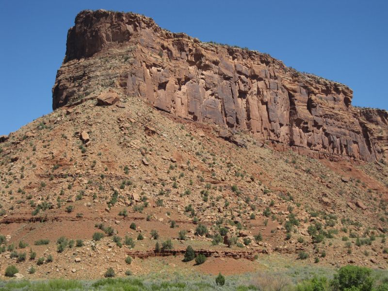
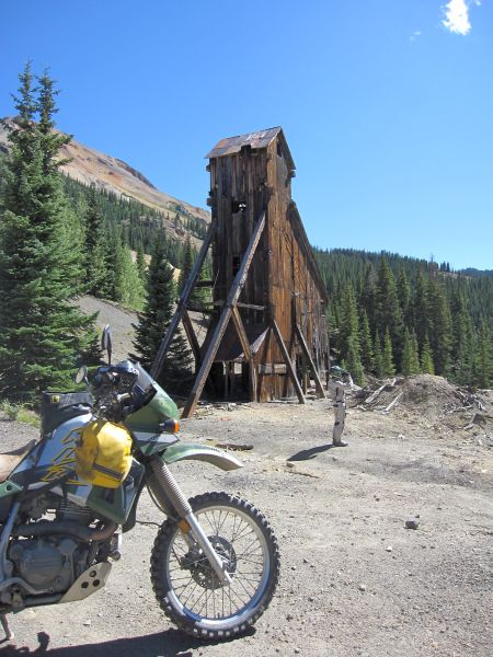
The start of the Red Mountain road. That is one of the several peaks in the area that are named Red Mountain. I believe that one is 3 of 3.
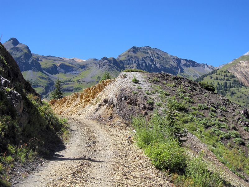
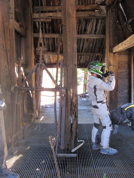
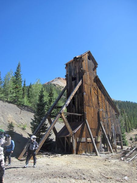
This time we stop at some of the mines and check them out.
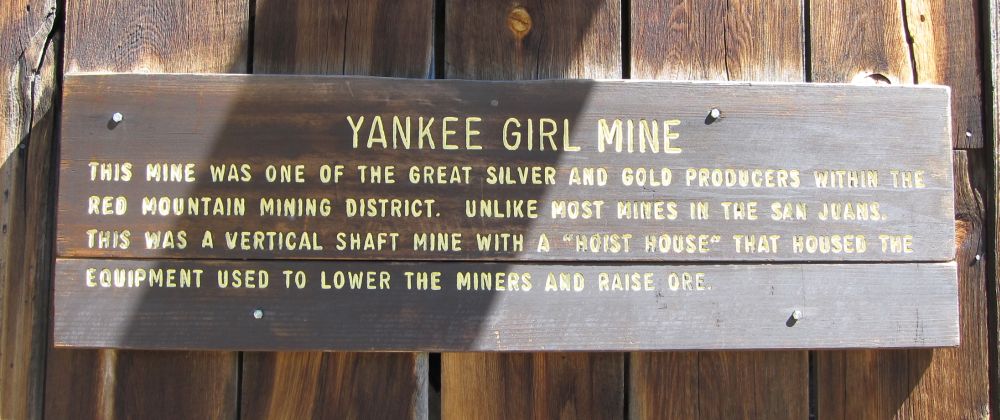

Inside the mine shack, you can see the top of the elevator (in front of Chuck) and the operating lever (behind Chuck's leg). There is steel grating to keep us from falling into the shaft.
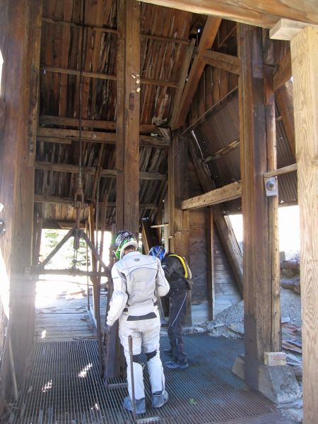
I don't see any indication of what was used to power the elevator, but I would guess it was powered by a steam engine.
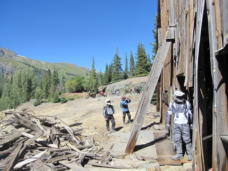
The same mine from the outside
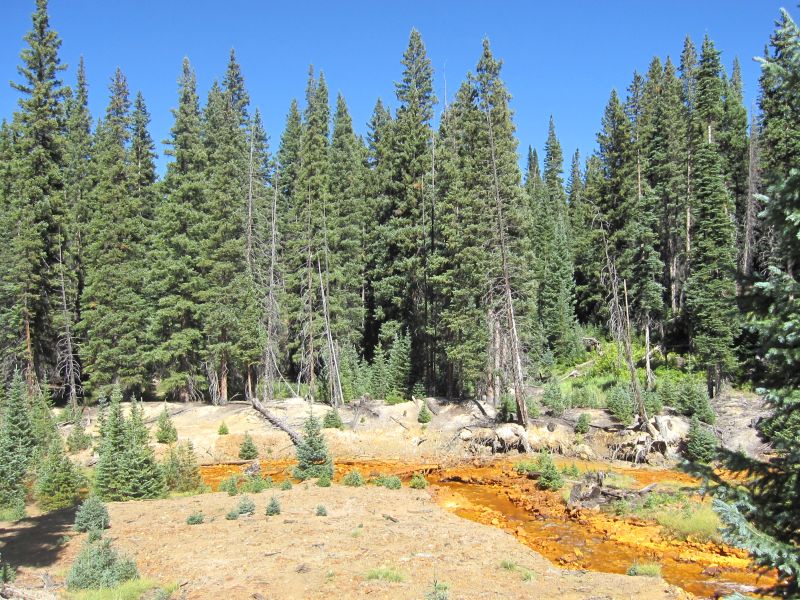
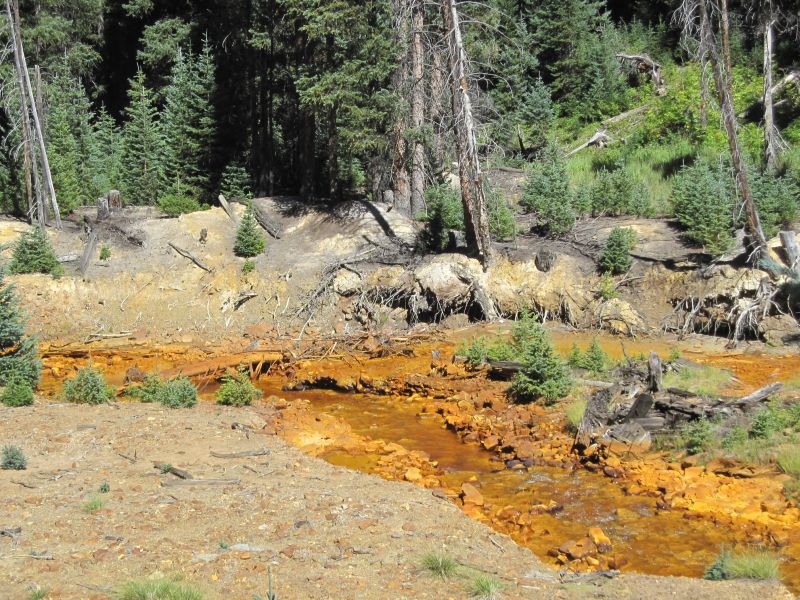
Downstream from the mines, Red Mountain Creek. I don't think Bear whiz has anything to do with the color of the water and ground
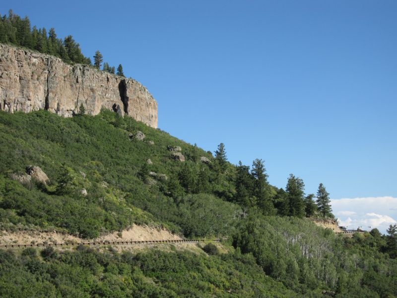
We reach US 550 and head toward Ouray. Just before town though there is another traffic delay. I am only about four vehicles back, so I cut up to the front and visit with the guy holding the stop sign. He's quite a character. He's very interested in the bike, where we've been riding, etc,... When I ask what is going on with the traffic, he points to a large crane poised on the edge of the cliff over by a sharp turn. It seems they have been prepping for a blast all week and today was the day they popped it off. Well, apparently they had a wee bit more boom stuff than they thought. Rather than just fracturing the rock and everything staying under the big heavy blasting mats draped over the rocks, the mats went flying, huge rocks were hurled off the cliff, and the big crane was heavily pummeled by flying rocks and left partially covered in rocks. This guy was REALLY excited about it when he was describing everything to me!! They are close to done and we only have to wait a short while before we can get through. He wasn't kidding about the size of some of the rocks that were piled up all around and on the crane!! Someone's fanny is gonna be in the hot seat over this! I cruise on through and then make the final run on into Ouray.
We've decided to head up to Montrose this evening for a large group dinner since this will be the last night everyone will be here. I have in mind a steak house that we ate at when we were last out here. It was very good and had a large upstairs banquet room that we used. This let us tell stories and be a little louder without bothering other diners. Unfortunately, when we get to the restaurant, we find out it is now a church. No problem, I noticed that the Big Red Barn is still here and open. So we head over there and have a fantastic meal, great visiting and story telling, and watching some of Chuck's video's on his laptop. Suitably stuffed and slow moving, we head back to Ouray and call it a day. I sleep like a rock.
[Click here for next section of the report.]
As is usual, the temperature is in the low 50's while the sun still hides behind the Eastern ridge of mountains. We head South on US 550 again, having to ride almost to Silverton to find the start of Ophir Pass Rd.Approaching the pass
Looking down from the pass on the West side
There's a pretty steep switchback just ahead
The three red circles are around jeeps, just trying to give a hint about the scale
That ghost in the middle is Roger... he moved
This is Trout Lake with Sheep Mountain in the background
Steve with Black Face Mountain behind him
The whole view
The road wanders back around behind the lake where Lake Fork creek flows into Trout Lake via Groundhog Gulch. Here we find the remnants of an old rail line. No way to ride out on it though...
The road continues on around the lake, crosses Lizzard Head Creek and eventually rejoins Hwy 145 right at Lizzard Head Pass. The ride up Hwy 145 from Cortez over Lizzard Head Pass to Telluride is a great paved ride!
Steve on his XR650R
Bob on his DR650
RG and Bill on their KLR 650's
Chuck on his KLX 250
Chris on his DRZ400
George on his DRZ400(?)
Time for a break
Time for another trail side maintenance session!Between the lot of us, we have enough spare bolts, bungees, straps and bailing wire that the bike is good to go in short order!
We resume our climb and soon reach the top. Is that not one of the prettiest things you've ever seen...!? The lake that is...
The wildlife in its natural habitat...
Right at that moment, I look up and there is a bow hunter coming down the trail toward us, all decked out in his camo, even on his face, and not looking real happy to see a mess of bikes. We get turned around and head back to the regular road, disappointed that what could have been a great adventure is not to be. So down we go, just like yesterday. I probably should stop and take some pics since I managed not to get any of this section yesterday, but I just get so into the riding that I forget I think this is Chad "Oilfieldtrash" on his Yamaha WR-250(?)
Chuck cleans his boots by holding them in the wheel wake
His dismount on the far side is equally impressive
RG risking the thumbs up despite all the big rocks hiding under the water...
Uhhh Chris... I think you are target fixating there bud!?
George comes last, making it look nice and easy
A look at the whole creek. Not much water in it this year
The view on some of the switchbacks right before we reach US 550
And we stop at the little water fall again before we reach Silverton
And then we hit some construction and have to wait a while... all the while that little tiny road snaking all the way up into the mountains in the distance keeps calling out to me... See it? Right there above the tree line? Looks like fun but it is not on my map...
This engine is still coal fired. Most that are still running have been converted to oil.
Then it is over to the Black Bear Cafe for a great and VERY reasonably priced meal!
The start of the Red Mountain road. That is one of the several peaks in the area that are named Red Mountain. I believe that one is 3 of 3.
This time we stop at some of the mines and check them out.
Inside the mine shack, you can see the top of the elevator (in front of Chuck) and the operating lever (behind Chuck's leg). There is steel grating to keep us from falling into the shaft.
I don't see any indication of what was used to power the elevator, but I would guess it was powered by a steam engine.
The same mine from the outside
Downstream from the mines, Red Mountain Creek. I don't think Bear whiz has anything to do with the color of the water and ground
[Click here for next section of the report.]
Last edited:


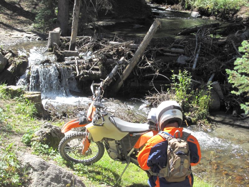
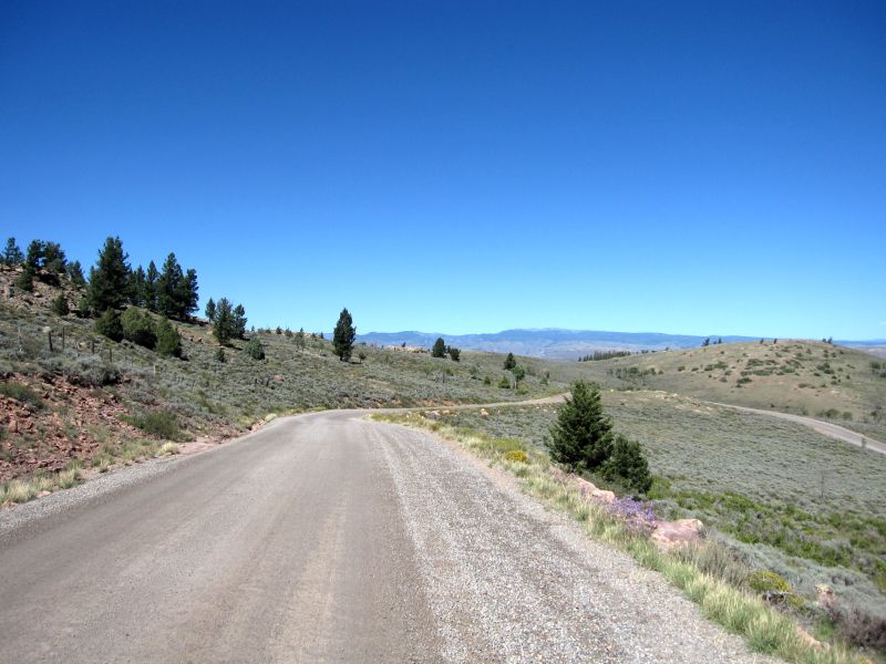
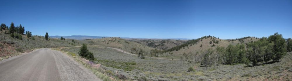
 Looking at the map, there is a little road that wanders off to the South and eventually deadends. However, it looks like it would be fun. So we decide to head down and back to see what we find. The road starts out very smooth and nice. It follows the West Fork Cimaron River back up to its head waters. We come upon a BIG hunting camp, empty except for the Cookie. He looks like he has an incredible setup for feeding a lot of people at one time. We wave and motor on by at a nice slow pace so as not to kick up too much dust. Just beyond the camp though... things start to get interesting as the condition of the road begins to deteriorate!


 Back soon!]