Day One: Continued

So Casey bee-bops on down the hill and out of sight. It's my turn next. Despite understanding the physics of faster spinning wheels making the bike more stable, my brain struggles with just letting the bike roll down the hill at a speed that will make it stable. The part of my brain responsible for controlling the brakes is constantly freaking out and trying to slow me down. My fear is not the ledges so much as it is hitting a big rock with a glancing blow and losing the front end, something that happened to me a LOT with the KLR. The mental tug-o-war rages but I manage to get on down the hill with MUCH less trouble than I had the first time through here all those years ago. I find Casey waiting part way down but I continue to the bottom and get set up to catch pics of everyone else coming down the last bit.
Roger gets down before I can get the camera out
This picture is deceiving. It only shows the last part of the descent. There is more back behind the hill to the right. That is the section that starts where Casey disappears in the video and it is pretty gnarly until it reaches the start of what you see above. When my wheels were not turning, there was quite a bit of sliding involved... Often the back of the bike felt like it wanted to lead the way down

Drew
Casey
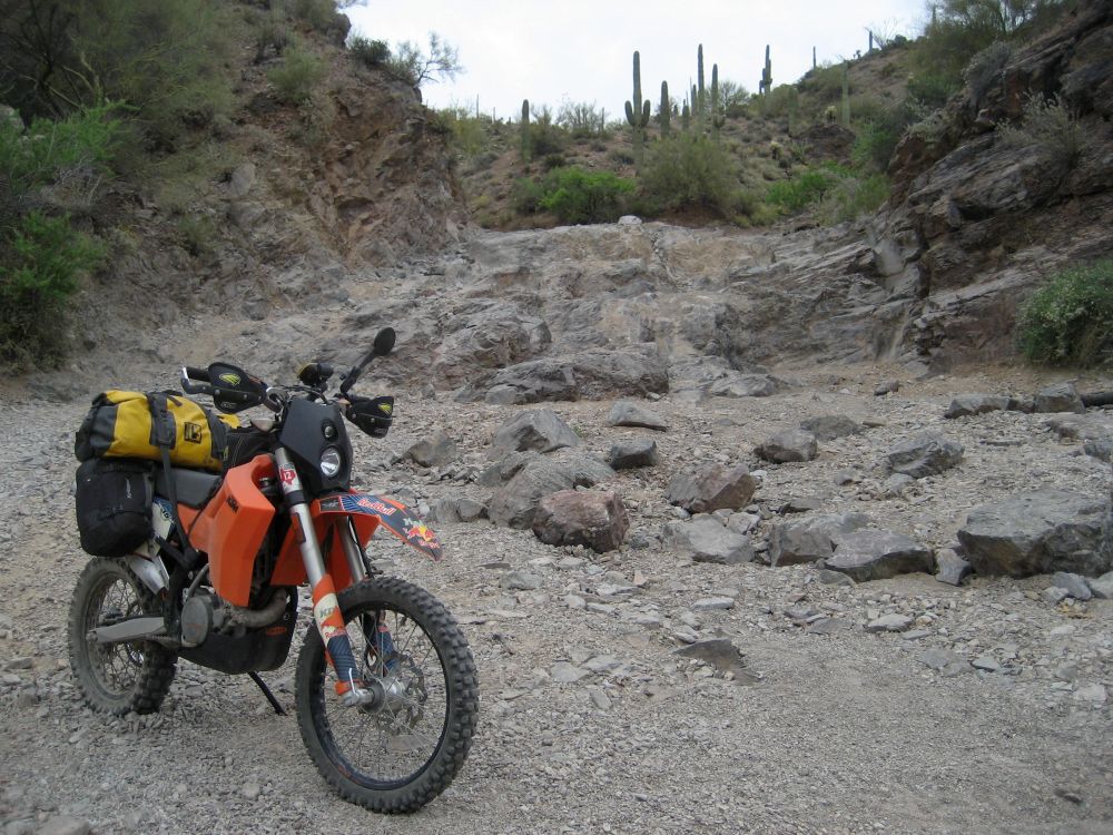
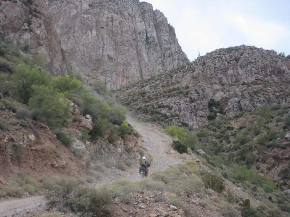
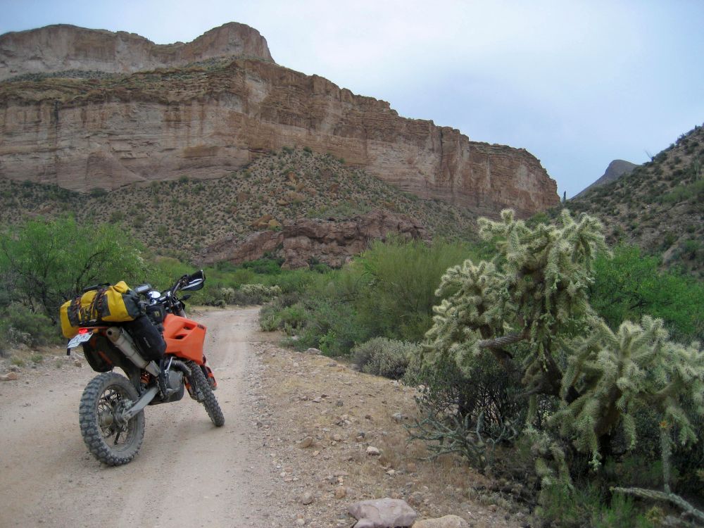
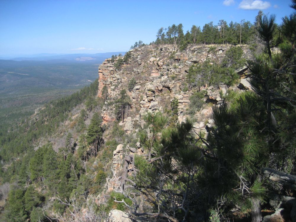
The road is ALL solid rock with loose rocks scattered about
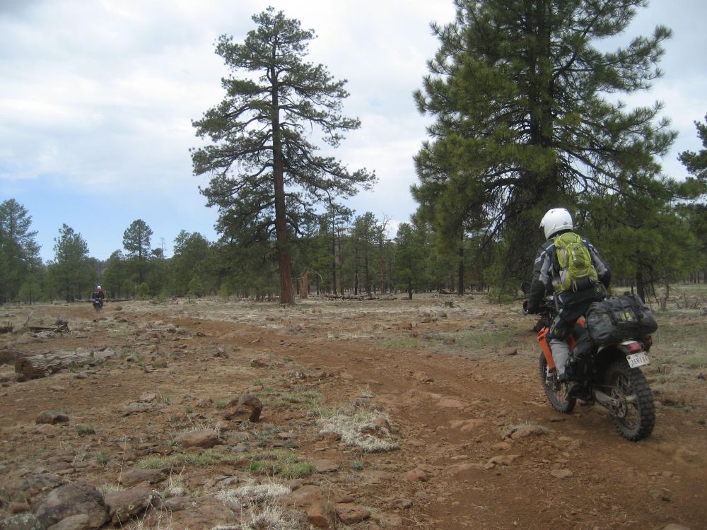
Once everyone is at the bottom, we stop for a break. By this time on the last trip, I was nearing exhaustion from the exertion and the heat. Today, the heat is not so bad and I am not working near as hard on the KTM as I did on the KLR. So I am still feeling pretty good. But there are two more hill climbs coming up... and they hold a special place in my heart...

It is hard to describe the real nature of the climbs and descents out here. No, we are not fighting thin air like we might be if we were doing the high mountain passes of Colorado. I think the difference here is that it is harder for me to maintain momentum going up because the climbs are pretty rough and they are LONG. Even with a good rest before starting a climb, arm pump can set in before reaching the top. Add to all that the fact that there can be some sharp corners and it makes for a technical ride. The hills we are about to attempt got the best of me during the 2007 trip. I am determined to even the score this time...
Casey leads the way and I bring up the rear. I sit for a few moments at the bottom of the hill watching the lines taken by the other riders and contemplating how I want to attack the hill. I don't know why I put much thought into it. Most times the line I take is rarely the line I intended to take

Anyway, I slip the clutch out and feed in the gas, confident in the mountain goat nature of my bike.
The climb has several turns along the way to the top. The "road" is V shaped from erosion. The sides are loose and fairly steep. The center is full of the big rocks that wash down the hill. Crossing from one side to the other in order to negotiate the corners can be tricky. The first section is pretty much straight up until we reach a sharp right corner with a ledge right in the corner. Before I get there, I hit a smaller ledge just before the corner and almost lose it. Somehow I manage to keep the bike upright, but I am pointing the wrong direction... Getting pointed in the right direction involves a lot of grunting and huffing. The weight of the luggage really makes yanking the bike around a real chore.
Pointing in the right direction, I sit facing the tight corner with no momentum. I take a moment to survey the situation and then decide to cut the corner instead, riding over some rocks next to the ledge. It takes me a few moments, but it works and I am happily on my way to the top of the hill. Memories of laying under the shade of an Ocotillo cactus near the top while gasping for air flash through my head. But, it's not over...
After a while, the roads and hills all start to blur together. At first, I don't realize that the hill I am now climbing is the same hill where I finally ground to a halt on the KLR. It starts out fine. I round a right hand corner and lose my momentum, stalling in the process. I thumb the starter and the bike doesn't want to refire

I sit and catch my breath for a minute and then try again... nothing. Well, I do have a kick start, but I am in a bit of a precarious spot to be trying to balance on the bike so I can kick start it. There is no point in panicking so I just sit a bit more. Eventually I see Roger higher up the hill looking back down to see what is keeping me. I hate the thought of him walking all the way down here and then having to walk all the way back up, so I try kick starting the bike. After several tries and thumbing the starter at the same time, it finally fires and I restart the climb.
There are a few more corners before the top. Near the top, I clear the ledge that put me on the ground last time. It was MUCH easier this time around. At first, I still wasn't sure this was the same hill. Then Casey reassured me that it was. I may have stalled it this time, but I didn't go down and I wasn't heat stroking. I'll call that a victory

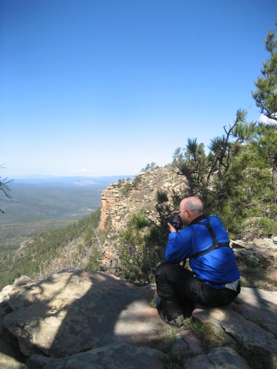
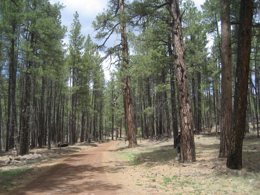
At the top, we start the run toward the Coke Ovens. When we reach the turn Casey is waiting. He informs me that this is an out and back run to the Ovens, with us returning to this intersection. The Ovens aren't far, but my memory of the roads getting there is that they were pretty tough. I don't recall if that was because I was physically whipped at that point, because the road really was that hard, or both. Regardless, I opt for stopping here and relaxing while Roger and the others head to the Ovens. I am not as spent as last time, but I am winded and tired. So I shed my riding jacket and find a comfy place to lay beside the road in the shade of my bike.
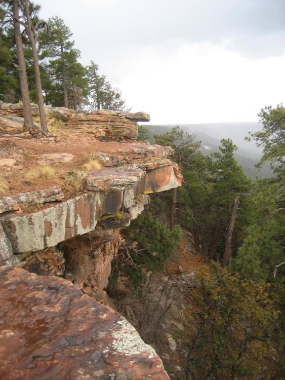
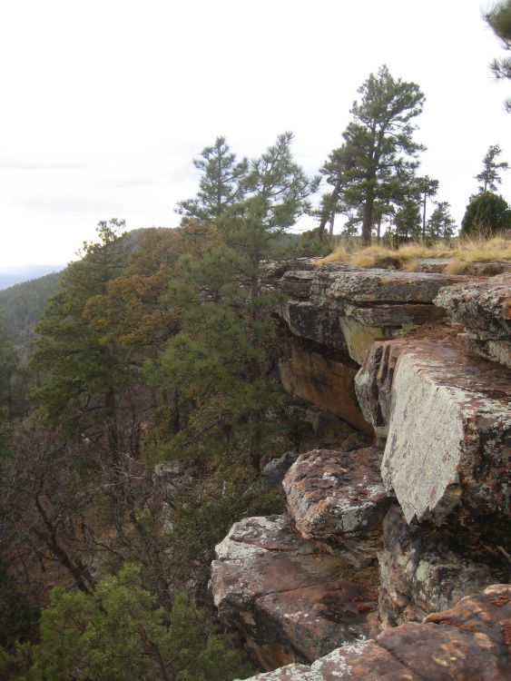
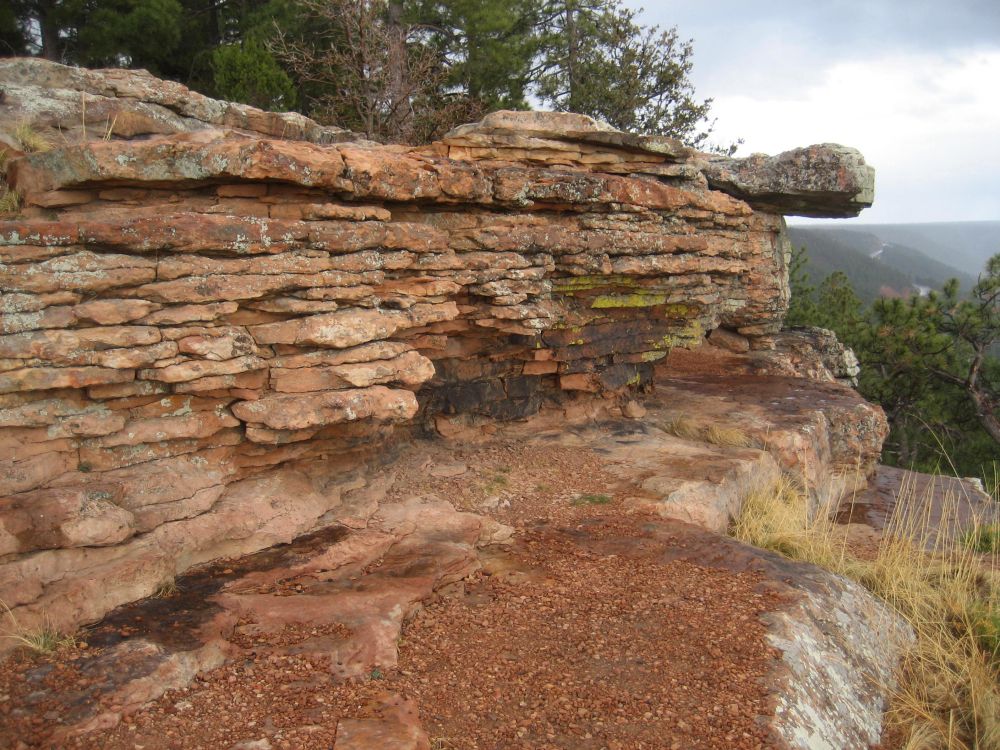
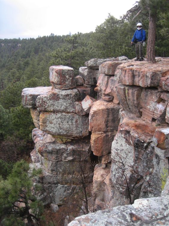
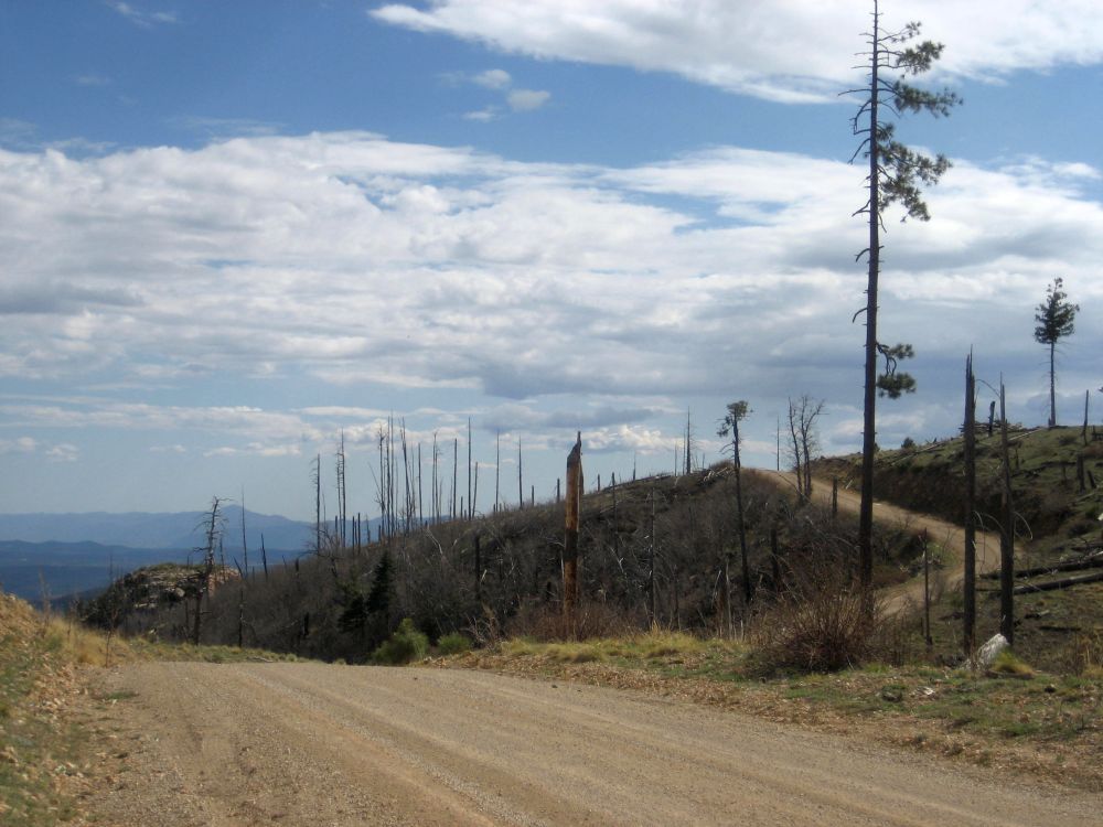
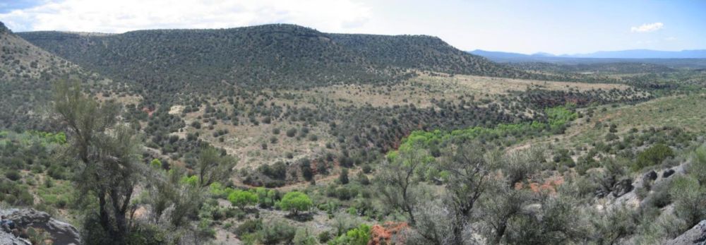
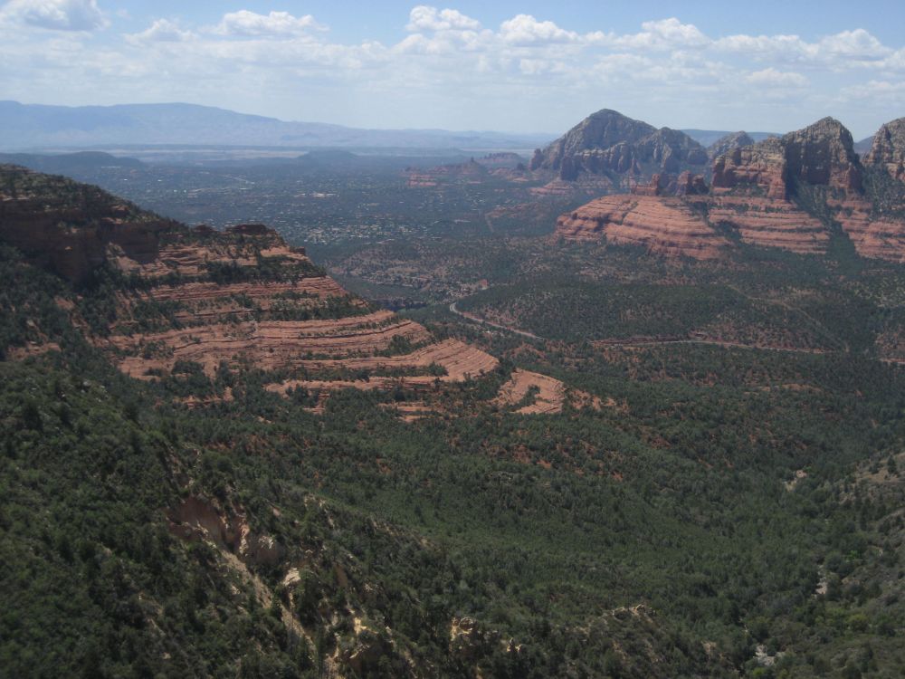
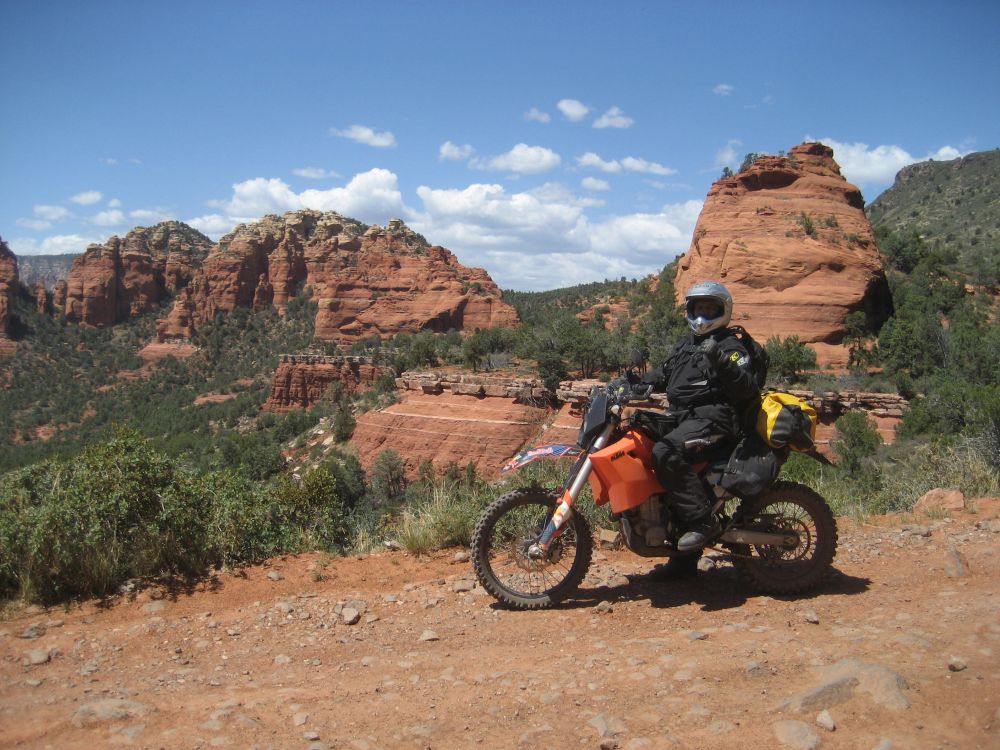
The view at the top
I don't know how much time has passed, but it does not take too long for the guys to return. When they arrive I go to start my bike and once again it does not want to start. It spins, but just won't catch. We are about to start a pretty tricky descent and I could coast down, but I do like using engine braking. I have a short stretch before the ugliness starts so after a few tries at kick starting, I go for a bump start. That eventually works and down I go.
This descent was at the end of the day last time. I was in survival mode. It wasn't about having fun anymore. It was just about getting to the place where I could finally get off the bike and just collapse. I had to fight the KLR all the way to the bottom and barely had the strength to hold on to the bike. This time is better, but it is still a technical drop. The ground is loose and the bike really wants to just slide, even if the wheels are turning. However, I eventually drop down and reach the silty road below that follows the Gila river to our camping spot from the last trip.
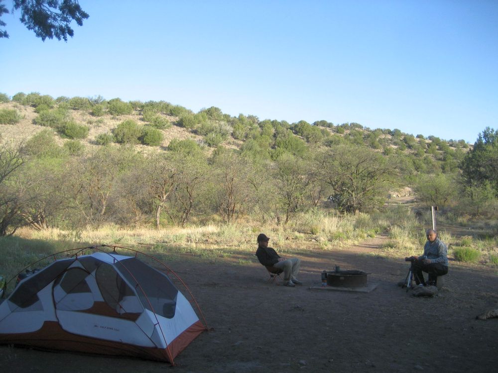
Our camp spot last time
I spent a day and a half lounging about in this spot
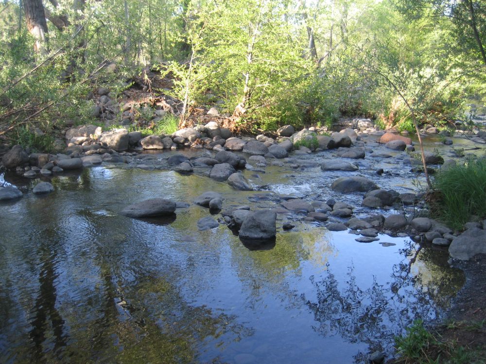
The river is up almost as high as the last time
The place where our rescuers appeared last time
This time, we are just stopping to rest... and apparently to fix a flat on Casey's DR. Drew and Casey seem to have things in hand with the tire repair, so Roger and I recline on the bank of the river in the shade and just relax. I have a quick snack and make sure I am hydrated. By the time Casey's bike is ready to go, I am feeling much better and reenergized. The job now is to find the way out on the Battle Ax trail that we did not do last time.
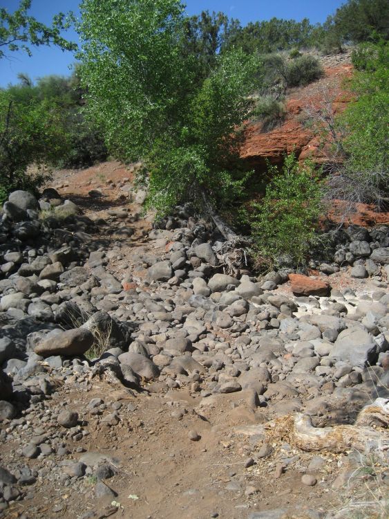
Once we leave the camp area by the river, the road crosses a dry wash area. It is strewn with baby head boulders. I set my eyes on a spot on the far side, stand up and just stay on the gas. Even with the extra weight of the luggage, the suspension soaks up the hits and I am soon on the far side. The road becomes hard packed dirt and is relatively smooth for a while.
Casey and Drew checking directions
The nice smooth road continues for maybe a few miles, lined by the dreaded
Cholla Cacti. You do NOT want to crash into these!! The smooth road eventually gives way to a long series of steep and rough climbs. This is where we turned around on the previous trip, but this time we are pushing through.
Roger heading up
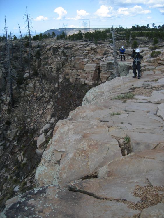
The inside line is crazy rocky, the outside smooth but narrow and on a ledge
It keeps climbing for some time around the back of that hill, eventually passing through a gap in the mountains
Once through the gap, the road starts to drop back down to the rolling desert floor. The road becomes soft sand and twists and winds its way through washes and around rocky outcroppings. It almost takes on a roller coaster feel as it rises and falls. Now that we are here, it is hard to believe how close we came last time before choosing to head back to the river where we knew we had shade and water.
Roger starting the descent into the desert below
The Cholla...
I really settle into a nice groove for the remaining few miles out to the highway. I am tired, but it is a good tired at this point. The riding has been hard, but it has also been fun. I still have a few miles left in me to reach our campsite and enjoy a relaxing evening. Once we hit the highway, Drew says good bye and starts the trek back to Superior where he left his truck. We start up the road toward Globe... Or at least that's what I thought we were doing...
Casey pulls over at a gravel road. He tells us there is a little road here that he wants to explore to see if it goes through. Casey has this disease that makes him go mad if he sees two roads on a map that point to each other but appear to not connect... I share that disease, just not quite as bad
")
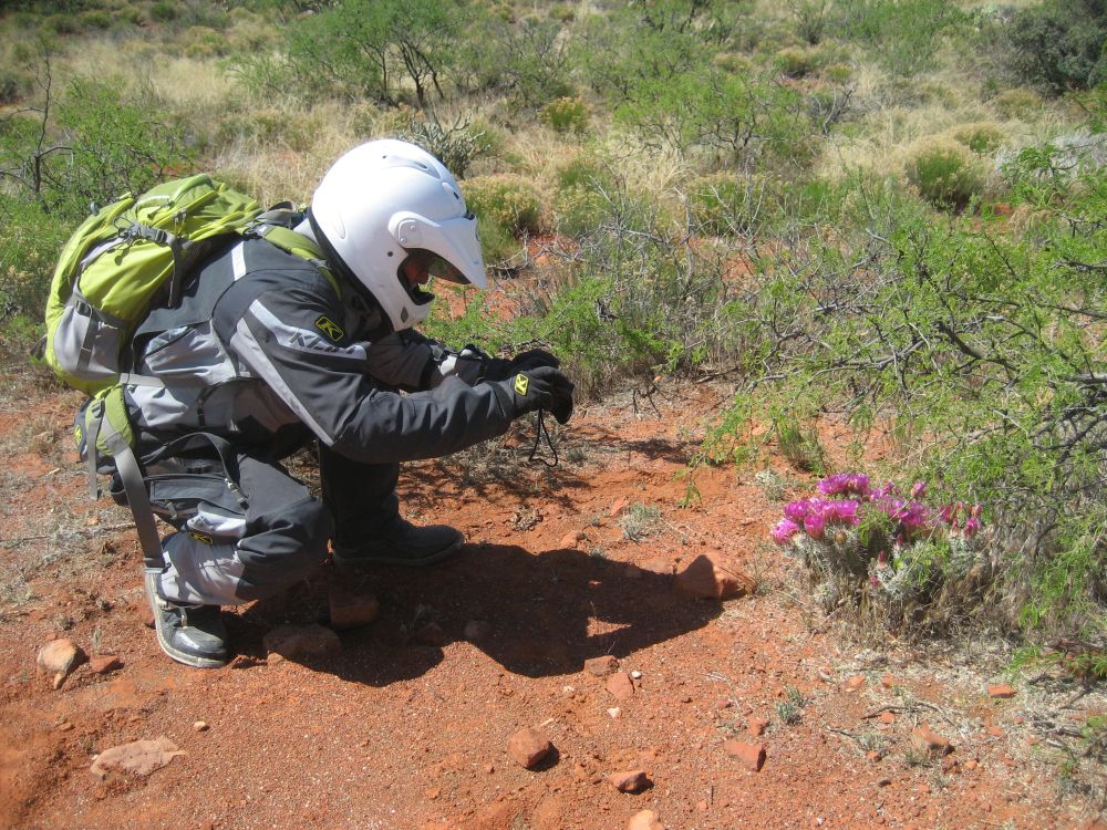
Believing Casey's claim that this would indeed be a short road, Roger and I agree to go check it out and see what it's like.
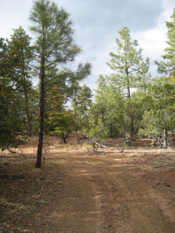
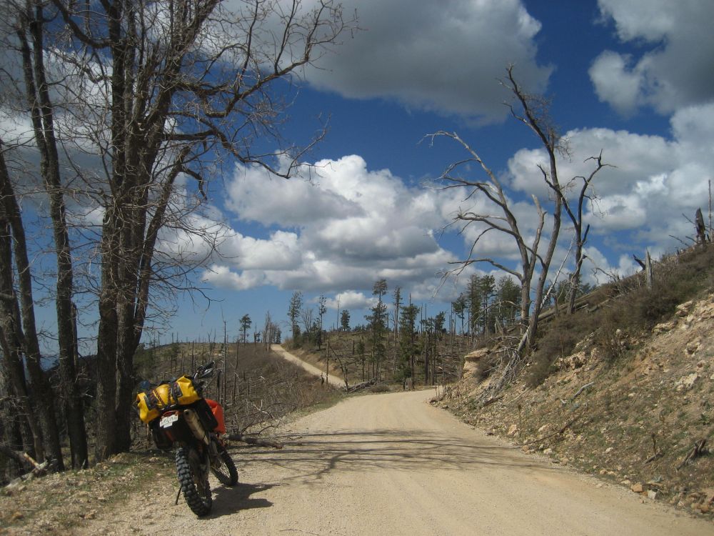
At the beginning
It starts out simple enough

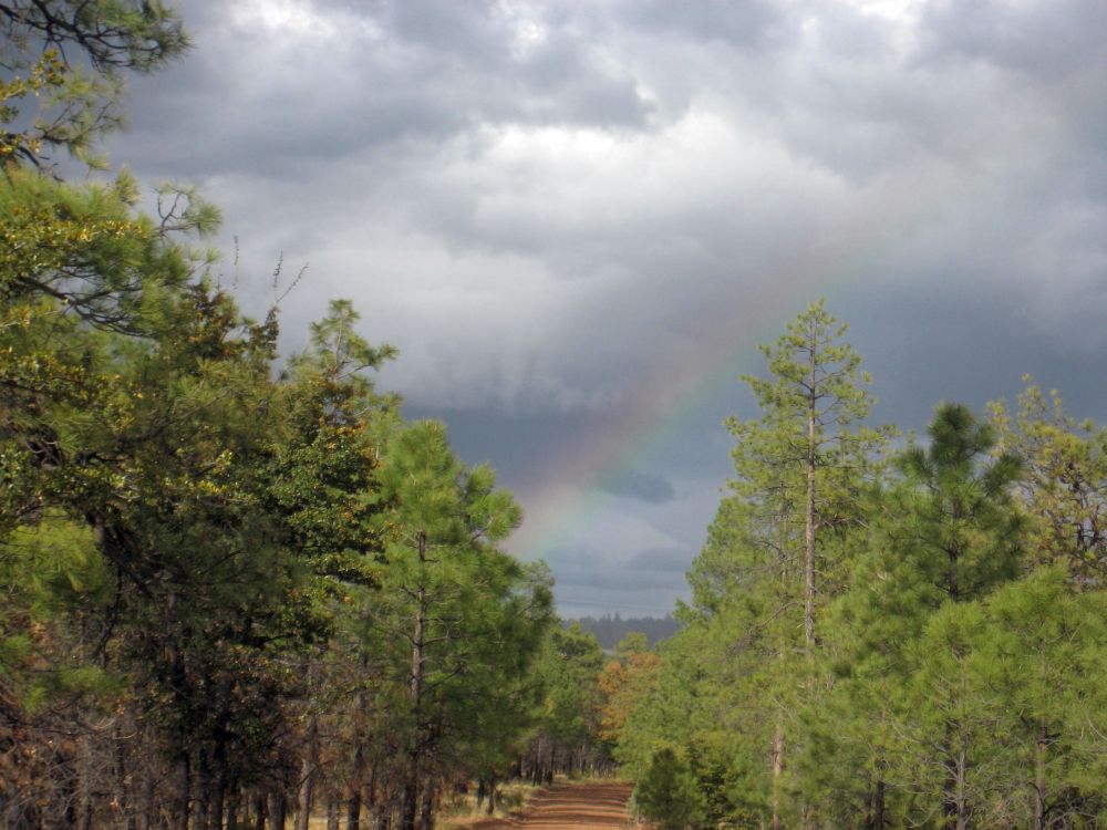
The road begins to wander back into the hills away from the highway. It gently twists and winds, dropping through a dry creek bed, and eventually we come to this...
See how it climbs to the right at about a 30 degree angle?
It is very narrow and rocky
At this point, the fatigue of the day really sets in all at once. It almost feels like someone just flipped a switch. We debate for a few minutes about pressing on, but finally we come to our senses and decide to just head back to the highway before someone gets hurt. I lead the way...
Refreshed by the knowledge that there is only a short bit of dirt riding left before we hit the highway, I kind of relax and just cruise back to the pavement. As I approach the little dry creek bed, I start to set up for the turn that happens right in the creek. As I start to tip into the corner, the front end just flies right out from under me. The next thing I know, I am laying face down in the creek bed with the bike laying on top of my right leg. I am not in any pain, because the boot is holding the weight of the bike, but I am pinned in a position where I can't get the leverage to move the bike and I can't get my leg out from under it. Thinking the other guys will be along momentarily, I just relax and lay in the shade...
Any moment now...
Any time... Yep... Surely they will be here soon...
Where the heck are those guys...!?
I think maybe ten minutes go by before I finally hear the faint sounds of motorcycles. Eventually Casey zips around me and pulls up on the far side. I quickly motion to him that I am fine and let him know that I am just stuck. He and Roger lift the bike off me and we are soon back on our way. Apparently one of them had an issue when turning around

Roger sitting where I washed out
My view while laying down was up the creek...

We are soon back on the highway and heading North on Hwy 177 back to Superior. Once there, we head East on US 60 to Globe. It is actually a pretty drive.
But the fun is not over yet...
Casey's rear tire is flat again
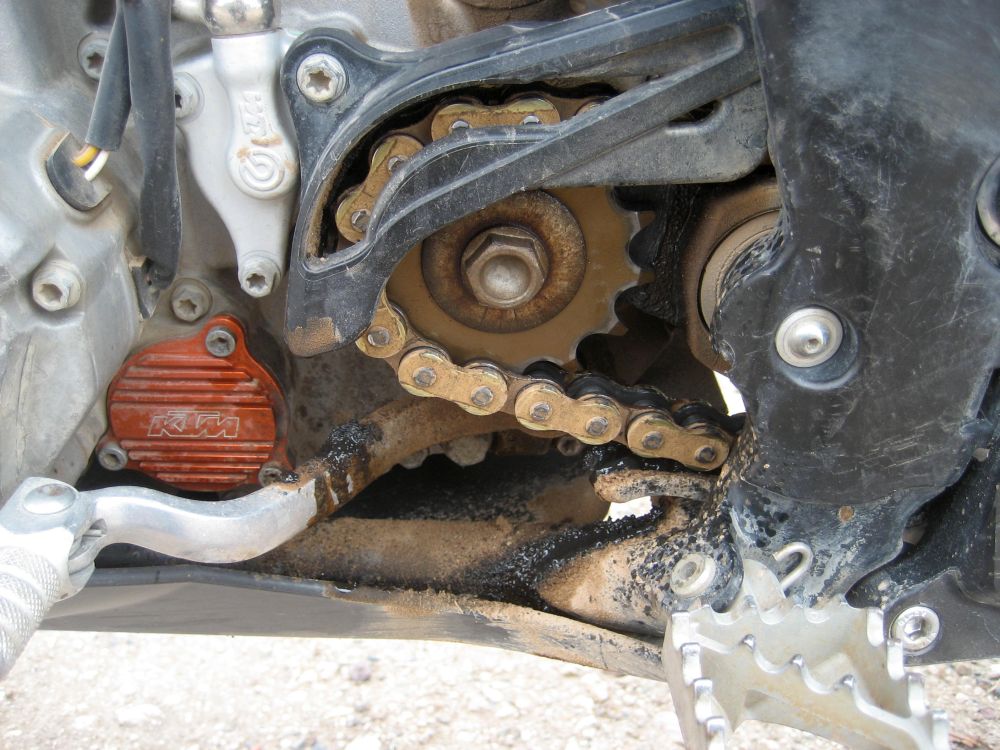
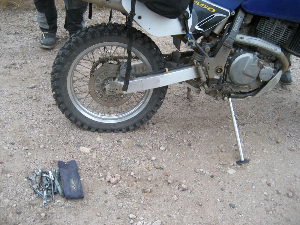
We find a place on the side of the highway with lots of room and set about getting it fixed. This when I first notice something amiss with my bike

A leaking counter sprocket shaft seal
Repairing the shaft seal with a new one is not that hard... if you have the spare seal... which I don't. The issue here is that these bikes don't have a large oil reservoir. The engine and tranny have separate oil and each only has 900ml. So I don't have much to spare in terms of letting it leak. I am carrying spare oil with me, so I can keep it topped off. But it is going to just get messier and messier. This is only the first of six days of riding...
Time to dig out the tools and get to work
A handy little jack stand... I need to get one.
Casey LOVES fixing flats... just ask him

We finally get back on the road and roll into Globe. We are hungry and stop at a local Wendy's for dinner. It is pushing 7:30pm and starting to get dark. Once sitting down and stuffed with food, we soon reach the point where the thought of riding out into the middle of no where to find a campground and get things setup is not that appealing. Roger and I convince Casey to just grab a hotel room for the night and we'll pay for it. He reluctantly agrees and tells us he knows of a good one up the road. Once checked in, we hit the hot tub and soon ALL agree that this was a great idea!
It does not take long before we are heading to bed...
I had my struggles in a few places today, but overall, the ride today was so much better than the ride seven years ago. Part of that was weather related. It was HOT when we came out last time because we had to delay the trip a few weeks. It was MUCH cooler this time. The heat makes a huge difference. Also, this time I had seven years of dual sport riding experience under my belt and was riding a much more capable bike. The combination of experience and better bike meant that I was not having to work as hard. Last time, most of my energy was spent trying to fight the bike's short comings, the biggest of which were the poor suspension and weight.
As I close my eyes and try to fall asleep, all I can see are rocks coming at me, almost like the stars shooting toward the window of a space ship going to warp speed


 Feel free to hang out and lurk as long as you like. However, we would like to encourage you to
  ). In those seven months, I did some serious head cramming, so I don't know how much of the details of the trip I can remember, but I did take a LOT of pictures!

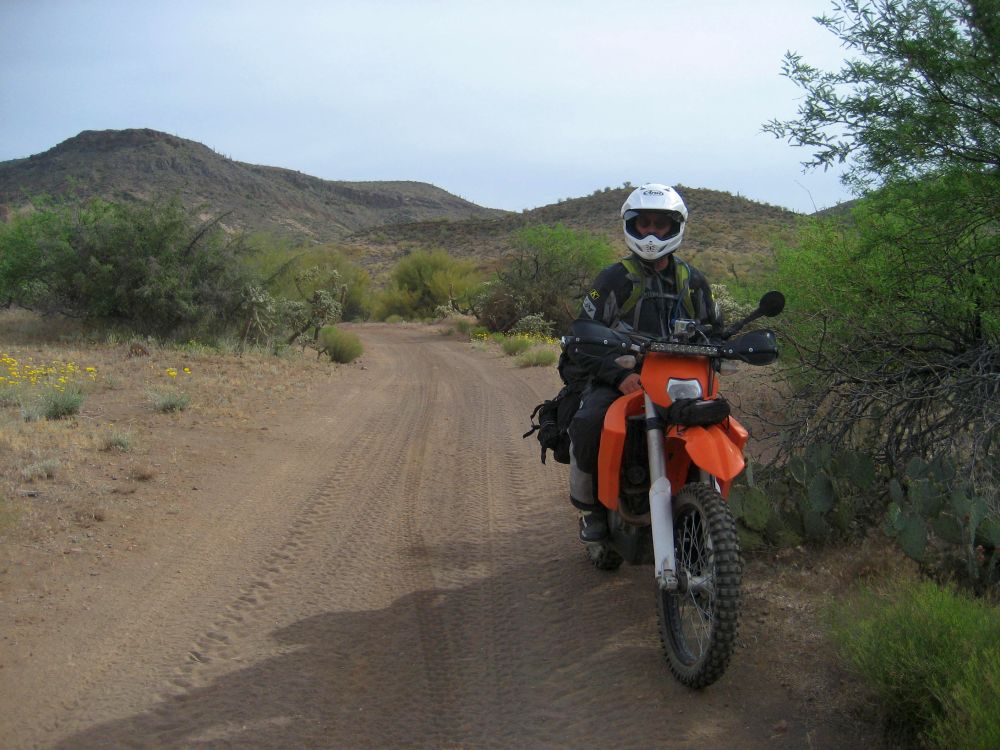
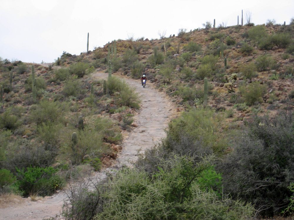
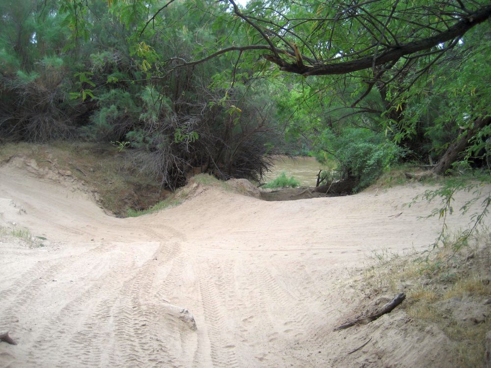
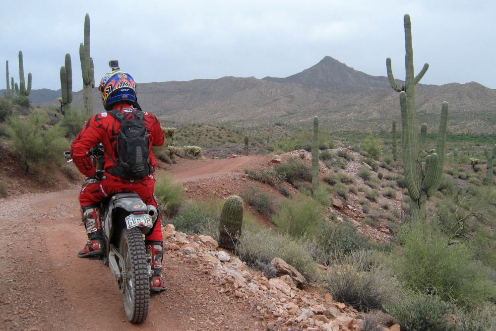
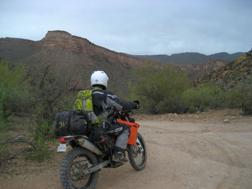
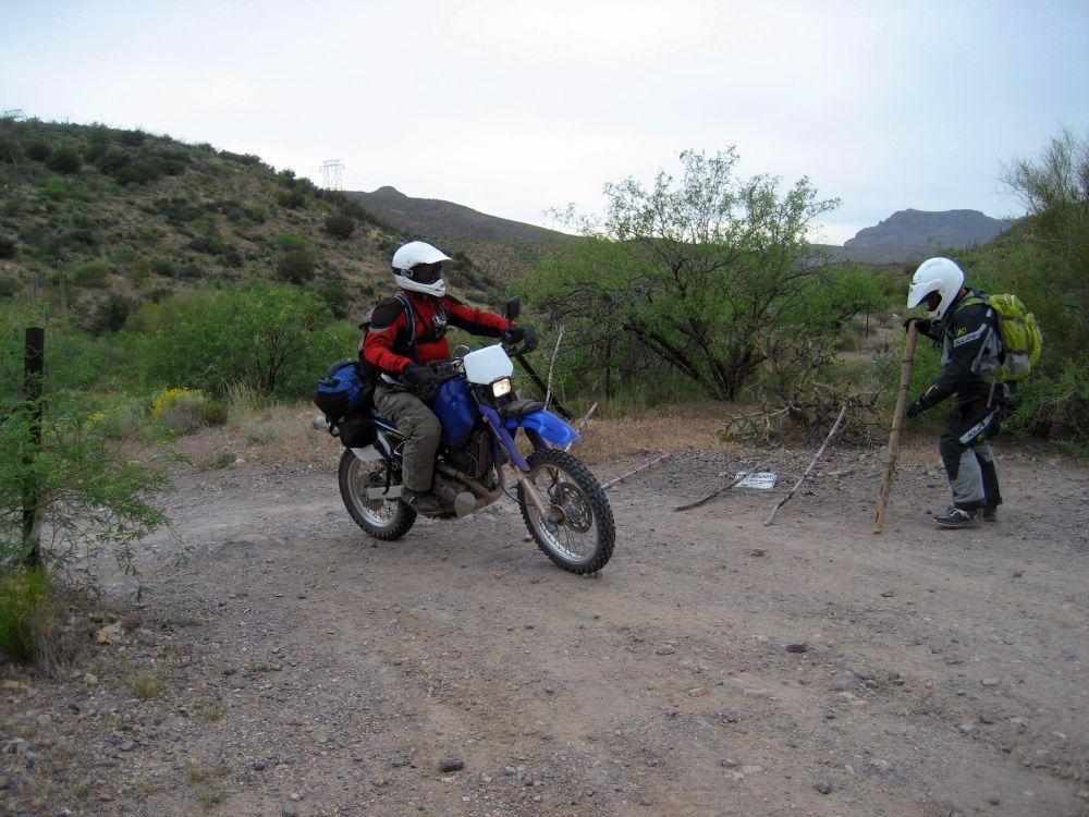
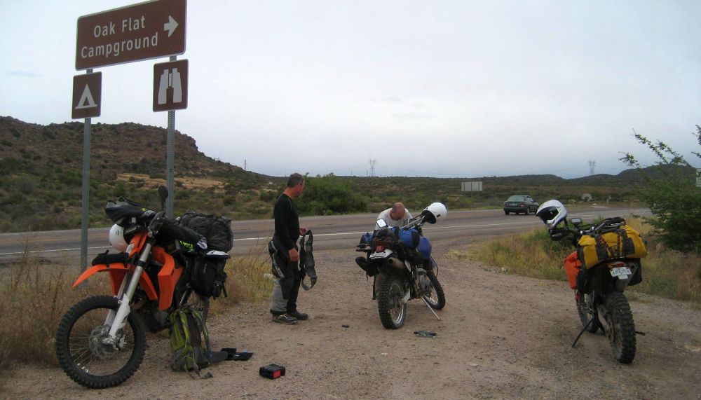
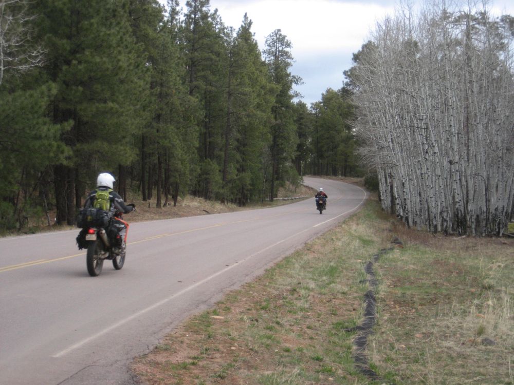
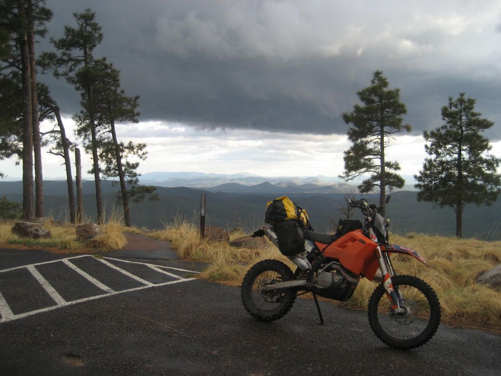
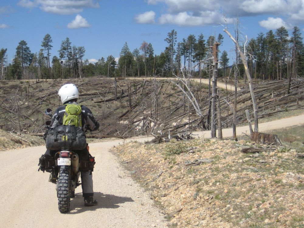
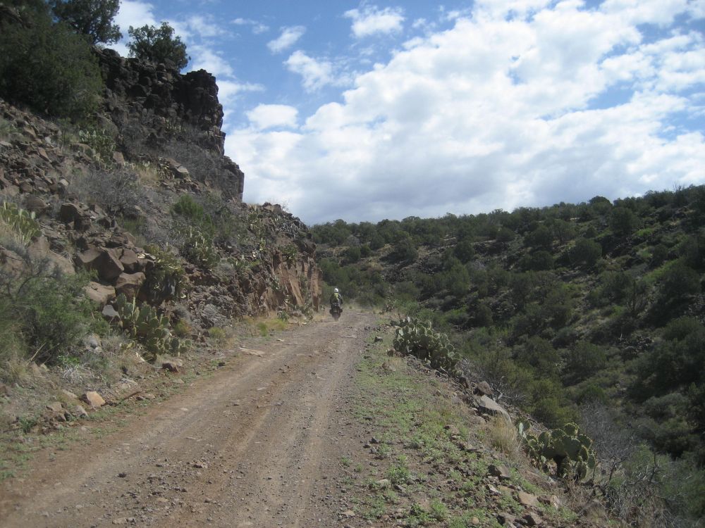
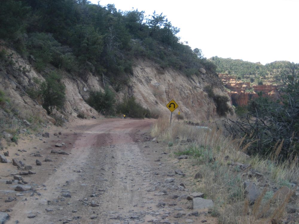
 Eventually though I stop to wait for the others. I don't want to get too far ahead and risk losing the group because I missed a turn or something. So I wait at an intersection.