Do you have public/government funded/run schools?
We do have those school. But they are not using the old car like that. All of them are pretty new. And you may not know that car is for school pupils if you are not seeing the banner on the cars.


 Feel free to hang out and lurk as long as you like. However, we would like to encourage you to register so that you can join the community and use the numerous features on the site. After registering, don't forget to post up an introduction!
") )
)
 (it was raining before we got there).
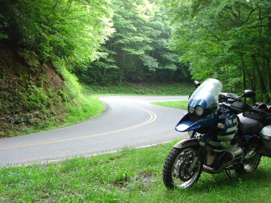

LOTS of this on Wayah Bald Rd.

Just saw the Wayah road on Google Earth. Doh, that's lots of twisties.
I believe there are still bunch of roads, I meant really nice roads, which I 've never been thru. Really love to come back to ride, Bro.
Need to work very hard to save some money from now on,....
P/S: If you were be able to hook up with me to NC that time.... dude...

I reached the highest point of the Blue Ridge Parkway:

I was wishing of Wrestler and RollingAgain being there with me:

(to be continued...)
What software are you using for maps and tracking ?

Looks like you really picked the most colorful time of year, as shown in your photos.
It looks like you found some good roads here and back east. I hope that your trip was what you wanted (anf maybe better than expected).
Next time you will need to hit the Rocky Mountains...
....