• Welcome to the Two Wheeled Texans community! Feel free to hang out and lurk as long as you like. However, we would like to encourage you to register so that you can join the community and use the numerous features on the site. After registering, don't forget to post up an introduction!

The Wild Bunch In The Remote Backcountry of Mexico's Sierra Gorda

Day 8
Stepped into a church

150530_445_8_9-hdr_PS-edt-XL.jpg


Bustamante was founded in 1749
150530_431-L.jpg


Breakfast. In these kind of places you don't assume to be a customer.
You are a guest and you act like one.

150530_414-L.jpg


IMG_1103-L.jpg


My hosts. Humanity at its purest
150530_417-XL.jpg
 
Last edited:
Down at the plaza a crew was laying new concrete sidewalks.
I loved the features on some of the faces

150530_391-XL.jpg


El ingenero
150530_395-L.jpg


150530_401-L.jpg

Do you think these guys might have a few stories to share?
150530_409-L.jpg
 
Last edited:
And if you're looking for a room in Bustamante,
this is where you go to inquire

150530_465-L.jpg


Guard dog
150530_467-L.jpg


Pretty soon I was on the road again
150530_475-XL.jpg


This little section of Mexico, south of Ciudad Victoria, to the east of 101 and west of Dr Arroyo has always been a bit of a mystery to me.
I had a day to explore.

So here is a little example of a case for GPS, which I didn't have. I was completely turned around in the picture above, and remained so for half the day, thinking I was one place on the map when I wasn't.
 
Last edited:
Sorta like the Odd Couple movies?

Not exactly. Watch the first 50 seconds and you'll understand.

[ame="https://www.youtube.com/watch?v=V1PqslRMWaE"]https://www.youtube.com/watch?v=V1PqslRMWaE[/ame]
 
I think it best to preface my last day of exploring with this post from 2012:
Day 5: Cuartro Viejos & Hooliah too .
which explains the relation between Zaragoza and Miquihuana.

So here I was three years later, finally getting around to "the next time".
My suggestion is that next time we explore this route from the Aserradero/Miquihuana side. With several days to kill. Plenty of riding.
‘Cept I didn’t have several days.

Class I road out of Bustamante
150530_468-XL.jpg


Pueblo of Gabino Vasquez
I was already lost but didn't know it

150530_481-L.jpg


Pretty soon I hit pavement, and hwy signs
The road I was about to take can be seen etched across the hills directly above the highway's vanishing point.

150530_486_PS-edt-L.jpg

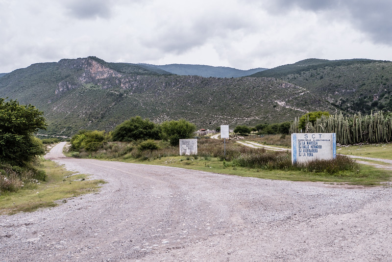
The road to Asseradero leaves pavement at La Pena
150530_489-L.jpg


And the fun begins
Leaving La Pena in the distance

150530_492-93-94m-XL.jpg
 
Last edited:
Higher
150530_502-L.jpg


And higher
150530_502_PS-edt-XL.jpg


Centro Ecoturistico de Montana, "Las Jojas de Miquihuana"
150530_509-L.jpg


150530_512_5_6-hdr-XL.jpg
 
and finally Asseradero
Not much to look at

150530_529-30-31m-XL.jpg
 
Last edited:
My idea for Day 8 was to run the little loop up into the mountains.
SMO%206%2C7%20%202015%20anotd-X2.jpg
So basically you have East and West legs leading off Mexico Hwy 120 in the south and forming a loop in the north.
I had been turned around most of the day, thinking I was traveling north on the West leg so when I arrived at El Asserradero I thought I was 2/3 of the way through.
And extensive interview with a local finally set me straight.
I was traveling north on the East leg and at El Asseradero I was only one third of the way through! :brainsnap

This is the guy who set me straight.
150530_535-XL.jpg


I had come up the La Pena leg, not the Estanque leg.
 
Back
Top