So as I was saying...

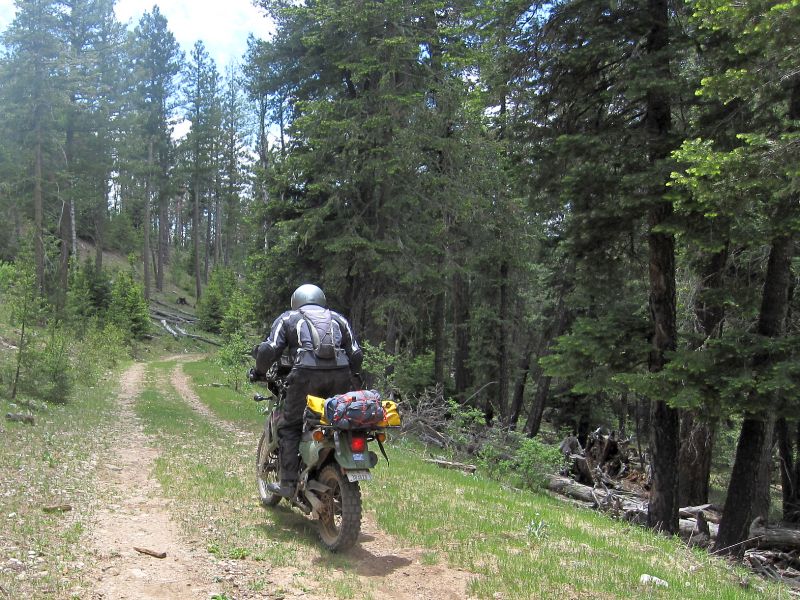
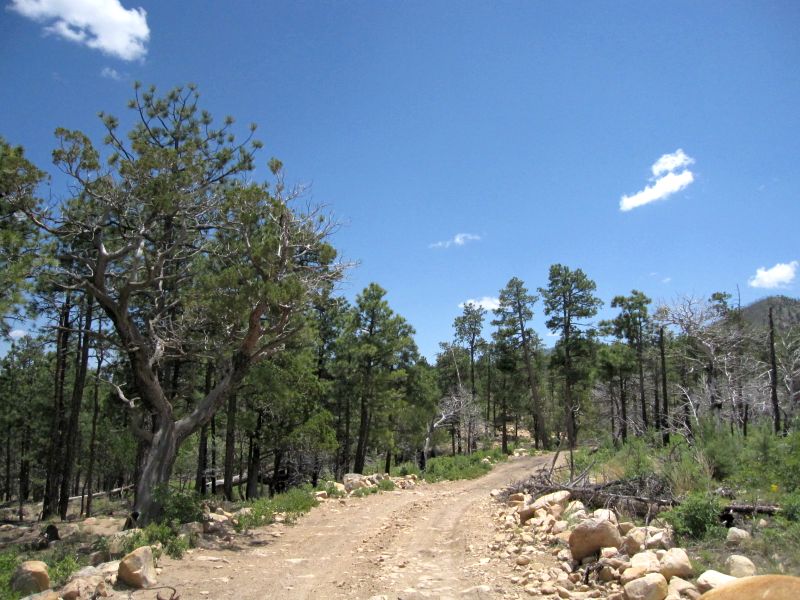
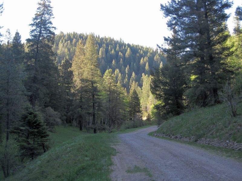
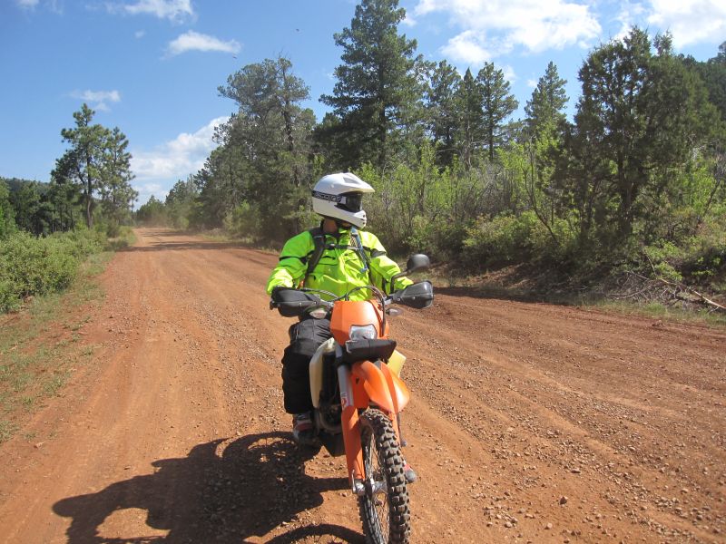
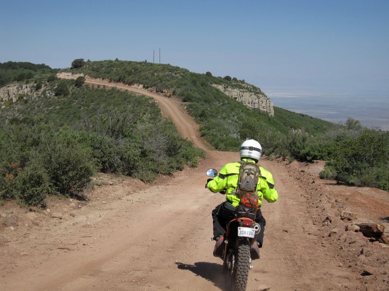
Beat from the last few hours of riding, we decide it is time to look for some easy riding and to think about lunch. We head back up to the Upper Rio Penasco Rd., and head West toward the Sunspot Highway. I am thinking we'll check out the Solar Observatory and then maybe run down to Timburon to see if the B&B Cafe might be open. If not, no worry. The ride down and back still rocks!
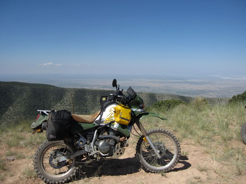
We soon reach the Observatory but find that it is closed. An "Out to Lunch" sign is hanging on the door with a "Be back at 3:00pm" note. Dang... it's 1:30pm. Well, nothing to do but have a look around.
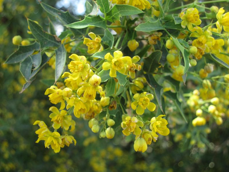
An interesting piece of art hanging on the front wall of the main building...
We sit around for a while and take a break. Fortunately, there is a snack machine in the entry way of the building but still outside the inner set of locked doors. So I can at least grab a Snickers bar for a snack. The storm I spotted earlier while resting on top of the mountain seems to be getting closer by the minute. We decide that heading straight for Cloudcroft instead of Timburon might be a wiser course of action. As we are getting set to go, I notice the other guys are putting on their rain gear... Hmmm... That might not be a bad idea...
We get back on the main highway and start heading North. It is only 16 miles back to town so it should not take long. However, no sooner than we get up to speed, the temperature starts to drop fast. A few minutes later, the pavement is damp, then come the sprinkles on the face shield. Moments later I see little white things bouncing all over the instrument cluster and my tank bag... Then they start getting a little bigger... DOH! It's hailing! Fortunately, the hail only lasts a minute or two and never gets real big, but it is soon followed by rain. Now we have to slow down because the road is really twisty and I have no desire to find the wet traction limits of the D606's on the KLR

The down side is that it means we get wet... and cold... real cold... I just count down the miles and think of that HOT shower waiting at the hotel... We eventually roll into town and it looks like it has snowed. The ground is completely white in many places. It's all hail! Apparently, we just got into the edge of the bad stuff and it moved on right before we got into town, thank goodness! We reach the hotel, park the bikes, and call it a day.
A small bit of the hail
Our eating experiences the last few days have been less than spectacular. In fact, they have just plain been terrible. So we decide that tonite we are going to head down into Alamogordo and see what we can find. Besides, it is a nice drive down and back.
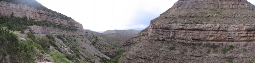
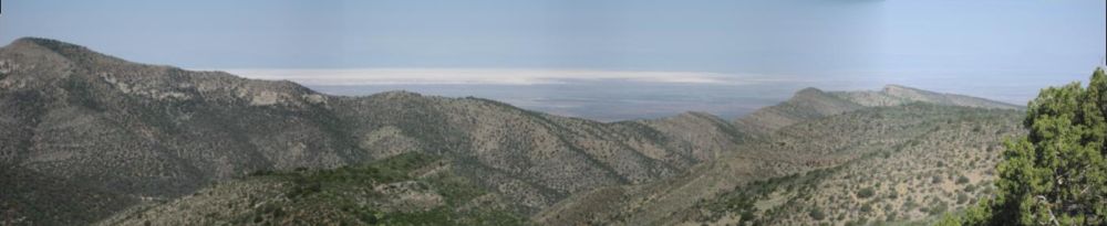
Looking West toward Alamogordo, the highway runs along the bottom of the rock face on the left side of the image
We get into town and make the run down the main drag. Eventually we settle on an Applebees. A cold beer and nice steak really hit the spot! With everyone stuffed and happy, we make our way back to Cloudcroft and call it a day. Tomorrow, we are heading up to Ruidoso and will be trying to hook up with Ruidoso Ron and some other DS riders. They will be showing us around their favorite stomping grounds. When I talk with Ron after getting back to the hotel, I tell him that after the riding from today, we are ready for some fun but not hard core riding. "No problem," he says...
We head out the next morning and make the run up Hwy 244 through the Mescalaro Apache Indian Reservation. The goal is to make it to Ron's house just North of Ruidoso by 10:00am. The run up through the reservation is very scenic and the pavement great. Of course, once again the speed limit is annoyingly low

I mean, it is not like I want to go nuts, but a nice relaxed 70-75mph would just make this a fantastic ride, even on the KLR!

Anyway, we reach Ruidoso and gas up the bikes before heading over to Ron's house. When we get there, a few other guys are present and we are waiting on one other.
While waiting, Ron gives me a nice tour of his shop, lots of cool pics from his flying past, a really nice project bike he's rebuilding, and his wife's pottery studio. I neglect to get any pics of the shop because we are too busy yakking about all the photos and gadgets, but I did manage to get a few of his wife's studio. She makes some very interesting pottery, not exactly the plant potters and bowls one might expect
")
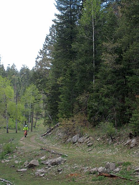
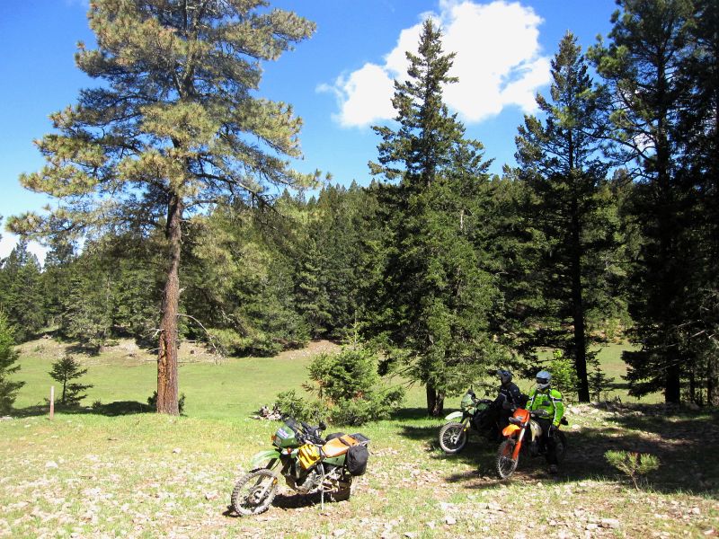
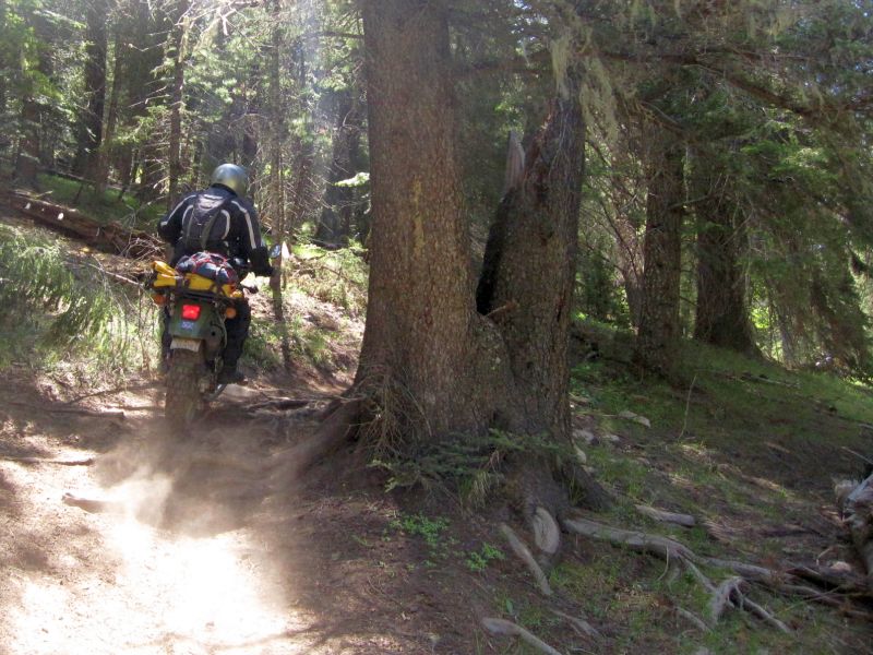
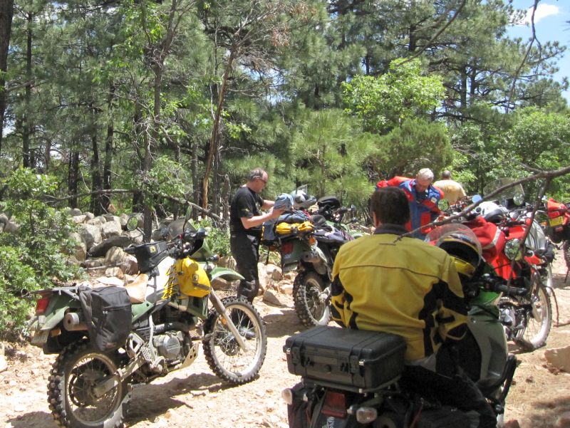
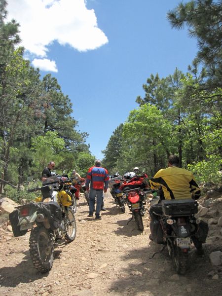
We soon get a call from the guy we're waiting on. Apparently we are going to meet him somewhere then head out. Our group now consists of me, Roger, Bill, George "Revog" Gover, John, and Ron "Ruidoso Ron". The guy we are headed to meet is David. I head to the back of the pack. I spend enough time leading that when I get the chance, I like to hang back and just follow without having to think about where we are or where we are going. I just enjoy the ride. As a result, today I really never pay much attention and just snap lots of pictures. So here you go:
The group meets up with David, he's on the XR650L.
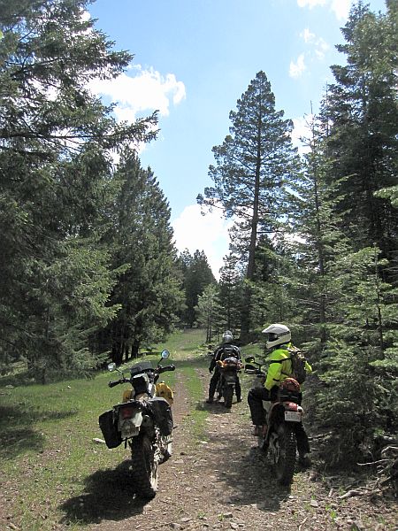
Dave has a minor mechanical issue, but Bill saves the day with his HUGE selection of assorted nuts and bolts. David takes the lead and we head off down a paved highway for a while before turning off onto a wide graded gravel road with mountains in the distance.
John on his brand spanking new KLR, less than 500 miles so far.
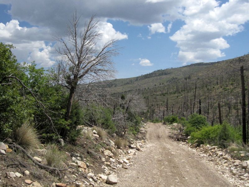
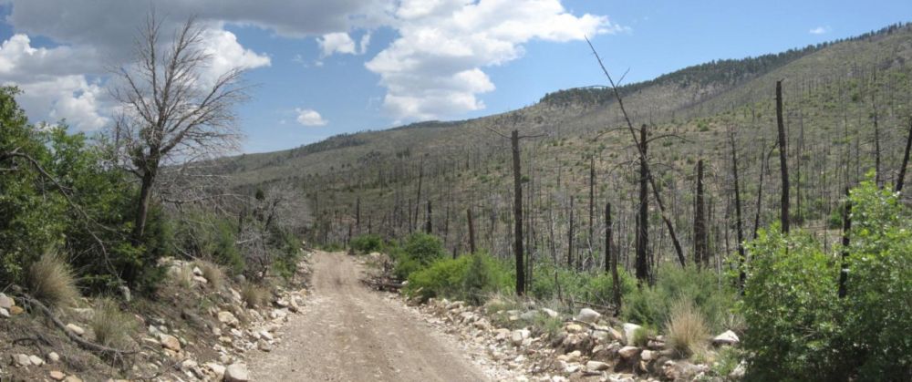
More evidence of widespread fires
The road is really rocky, but not real technical. It is quite fun. However, it is very noticeable that we are at lower elevation because the heat is really coming on strong already... I don't think it ever got much over about 80-85 F in the last few days riding in the mountains South of Cloudcroft. Here, it feels like it is getting into the mid to upper 90's. So we take a lot of breaks. With the sun being almost directly overhead there is a definite shortage of shade that actually covers the road.
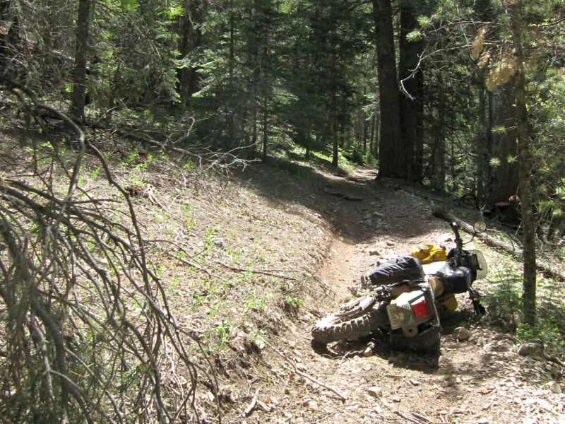
I am now riding sweep and I tend to drop back, stop, take pics, etc,... George is ahead of me and at the last stop I told him to give me about five minutes without seeing me before he comes back to look for me. Then we set off again and I start dropping back. I stop for a picture and as I am stopping and putting my foot out, I misjudge how far down the ground is on my left side. Before I can touch, the bike leans over juuuussttt a teeny weeny bit too far

So now am standing here contemplating whether or not to expend the energy and effort to attempt to stand it back up, or to just let it go and step off. I momentarily lose grip of my senses and try to save it, taking a deep breath and pushing... Then it dawns on me that I am likely to pull something and regret it, so I step off and lay the bike down. I pick it back up, get it on the stand, take my pictures, and get back underway. Moments later George comes around a corner looking for me, hehe.
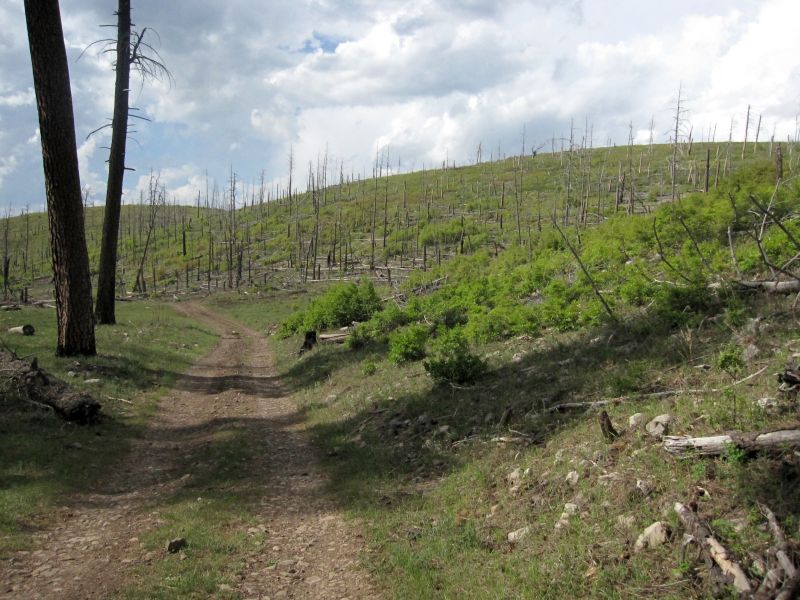
The fires must have been impressive to see because they scorched thousands and thousands of acres. The scenery is very surreal. The green of the new growth is very bright in contrast to the dusty ground and charred remains of the forest that used to stand here.
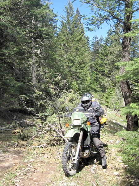
Before long, the road starts to get a little more technical. There are some deep ruts, erosion, bigger rocks, etc,... And did I mention it is getting really hot? The frequent stops are actually making me hotter. So long as we are moving, even if only a few miles an hour, the wind through the riding suit feels good and I can stay hydrated since I am carrying a camel-bak. Some of the other guys have to stop to drink though since all they have are bottles of water.
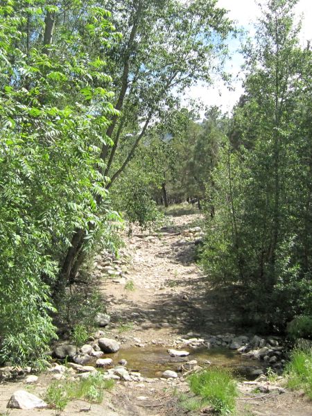
A small creek with lots of loose rocks
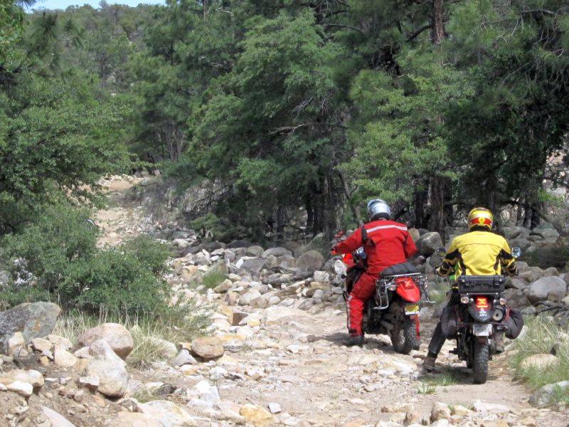
Bill working his way over some kind of pipe that crosses the road
Ron coming out of the creek
... and not quite clearing the pipe
Thunderhead brewing behind Roger... some cloud cover would be nice!
Now the road really starts to get rough, basically being nothing more than an area of rocks without any trees growing in them. I'm feeling pretty good though, despite yesterday's strenuous riding. So I just continue to go with the flow, keeping the end of the pack in site and taking my pictures.
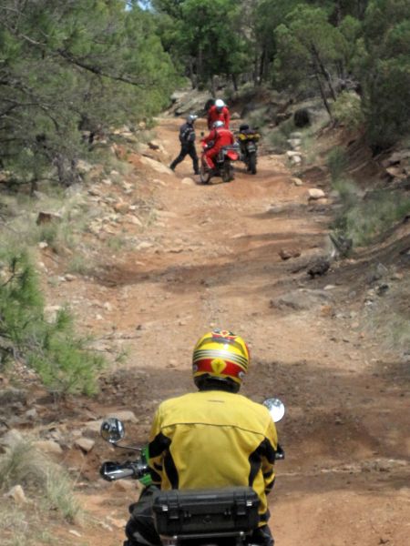
John and George contemplating lines for a particularly rocky section
I have been watching John and George all morning. They seem to be struggling in the looser rocky stuff, especially on climbs. At one of our breaks, I mention that it really helps to stand up on that kind of terrain so the bike can just bounce around under you. They both take that to heart and start standing up a lot more and I can see that they are doing much better and seem more relaxed.
Ron has a low speed drop on a fairly steep climb with a very uneven and rutted surface
George's KLR
It's been a good 30 years since I've seen one of these alive. We caught them all the time when I was a kid in central Texas back in the early 70's.
Nearing the end of the fun stuff
Well, eventually we come out on to a small paved road, that runs into a slightly larger paved road, and eventually a regular highway. We stop for a quick late lunch/early dinner, then Roger, Bill and I part from the group and head back into Ruidoso while the others head back to Ron's place for an evening of telling stories and lies over cold drinks. We top off the tanks in town and then head back through the reservation toward Cloudcroft. It was a great day of riding and I really enjoyed meeting the new guys.
Once back in town, I decide that I want to go check out a place on the East edge of town that John mentioned. It's called Big Daddy's Diner and he highly recommended it. I did not eat a full meal earlier and am wanting just a small meal to end the day. Once inside though, I spot a plate of ribs on someone else's table and all of a sudden I am HUNGRY. But they are out of ribs
So I get my stand by meal, a grilled cheese sammich, which is excellent! The waiter tells us that they will have more ribs and a full menu of BBQ tomorrow, so we plan to come back here tomorrow night for our last meal before leaving town. After dinner, we head back to the hotel and call it a day. Time for me to come up with another route...
Saturday morning rolls in cool and clear. The news has some nasty weather floating around and there is a good chance we might see rain today. However, we decide to risk it and see what happens. The general plan is to head North of town, then work our way East along the Southern edge of the reservation. We head West out of town on US 82 to the start of Bailey Canyon Rd., and cut North. There are a lot of campers in this area so I will be keeping my eyes peeled for ATV's!
Bill at a dead end, more evidence of fires
We backtrack after the dead end, encounter some kids on ATV's that don't react like they were expecting to see anyone else on the road, and then keep going. At La Luz Canyon Rd., we head East. This is a nice gravel road that follows a high valley. Again, LOTS of campers with RV's in this area. I get stuck behind some kids on ATV's that are blasting down the road raising a huge cloud of white dust. Soon they turn off and I can see again. The road drops out onto Hwy 244 and we head North toward the reservation to pick up CR 99 at Spud Patch Canyon. We head back into the woods and without realizing it, I have missed a turn. We are actually now on Dry Canyon road and almost to US 82. Once I realize what has happened, we backtrack almost all the way to Hwy 244 to pick up the start of CR 7.
CR 7 is nice. It does not look heavily traveled. It is narrow and covered with trees above. It is steep, rocky, and climbs to about 8400 feet. Then it just winds its way along the top of the ridge. There has been some recent road work up here on the top. Trees have been cleared and stretches of coarse gray gravel have been recently laid down to improve the road bed. As we meander through the woods, I notice the sky getting darker directly over us... Sure enough, within a few minutes it starts to sprinkle. I keep going, hoping it is just a sprinkle since it looks clear everywhere else. The drops get bigger... and then it starts to hail again! I finally pull over and we stand around under some trees to get out of the hail until it quits. The rain continues though.
Bill having the time of his life because he is here and not at work
Seeing that we're gonna get wet no matter what, we decide to get back on the bikes and head down the mountain. We drop down off Sixteen Mile Canyon Rd., onto US 82 and stop to reconsider. That one small cloud has now started to take over the entire sky. Even as I stand here checking the GPS and looking for an area to ride, the rain starts again. The direction we had planned to go riding just heads right into a cloud cover that is steadily growing darker and more ominous. It is decided that we will just head back towards town and see if we can maybe find some roads to ride South of US 82 and work our way back to the Southwest side of town.
I try several different roads that the maps show running from US 82 down around the East side of Cloudcroft and coming out on Hwy 130. No luck. Some are gated and one is a park road closed for renovations. So we just head back into town. There is a craft festival/show in town today and the crowds are out in force. We finally decide to just call it a day for riding and to wander around town and check out the festival. Most of the stuff at the festival falls into that category of stuff that is cool to look at and I can appreciate the technical/artistic skills to create it, but I have zero interest in actually buying any of it to add to the clutter in my home. We grab a bite to eat at one of the booths, then head over to the main drag to check out all the shops and get Bill a T-shirt. Eventually, and after a nice cold beer, I start feeling a nap coming on... So we all head back to the hotel and agree to meet later for dinner. For the next few hours...

We meet around 6:00pm or so and head over to Big Daddys for our BBQ dinner. We get seated, place our orders, and wait in eager anticipation. then it happens... the waitress comes back and tells us that Bill can't have ribs because Roger just got the last ones
No problem, he just substitutes something else. Then it happens again... Now they say even Roger can't have ribs

Noooo!!! Well, denied our ribs, we settle for the sausage, brisket, and chicken, all of which are excellent! I usually don't eat much in one sitting, and I probably should not have done so now, but man I am STUFFED! Finally... are REALLY good meal!! A fitting end to a great weekend of riding.
We get everything loaded up. Then early Sunday morning, we head out. When I go to fill up the truck, the ONLY gas station in town is out of diesel... uh oh... I have a little over a quarter of a tank, and the next town with a pump is about 90 miles away... Well, nothing to do but go for it. If we run out, we can just unload a bike and send someone up the road to get a few gallons. Fortunately, a good portion of the run East to Artesia is downhill
So we roll into town on reserve and find diesel. Then we just settle in for the long haul back to Arlington. We hit some pretty good rain storms along the way, but roll into Bill's place around 6:00pm. Roger and I still have to get to Huntsville and then he has to load his bike and get back to North Houston. However, it will feel good to sleep in my own bed tonite!!
Another great trip added to the memories. The Cloudrcroft area is definitely on my list of places to return to!


 Feel free to hang out and lurk as long as you like. However, we would like to encourage you to


")


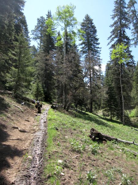
 Miles and miles of hard packed dirt with deep ruts, but fun nonetheless!


 I guess that is fine when it is the dead of winter and ice might be an issue, but on a beautiful sunny day like to day...

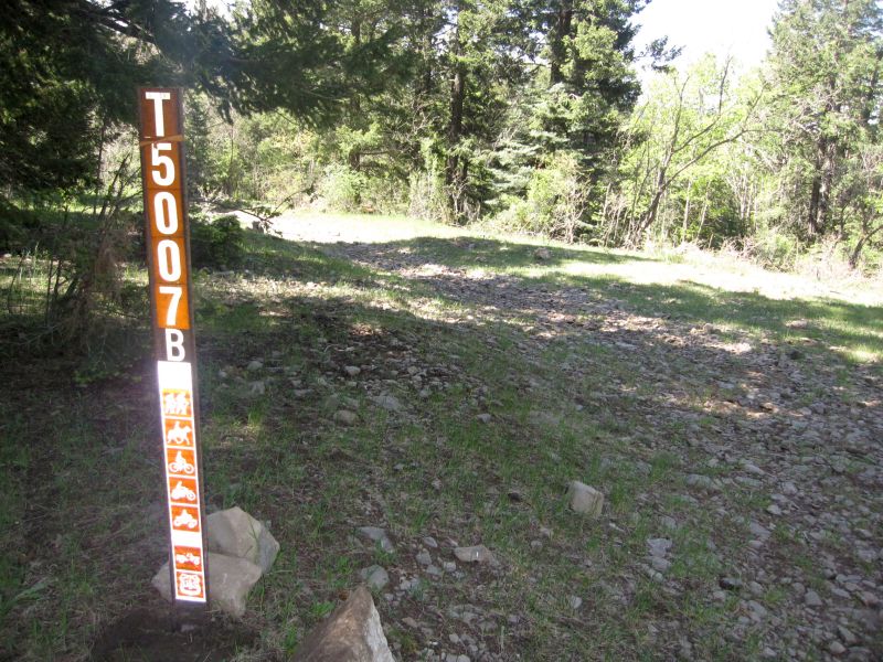
 It's not on the maps or the GPS, but there is no gate... so.... up we go...!