


 Feel free to hang out and lurk as long as you like. However, we would like to encourage you to
 Like the trip across Wyoming in September, mild weather in early November allowed a run up to Arkansas to ride another Trans America Trail segment. I don’t do bucket lists or marathon rides across the USA on the TAT, or a full-Monty ride north-south on the CDR, but I do like certain segments of the TAT, CDR, and BDRs. So far, that’s meant the western part of the US; this ride was different - east of Texas.
There are (at least) two sources of TAT tracks, Sam Correro (transamtrail.com) and GPSKevin (gpskevinadventurerides.com). Like I did for Wyoming, I bought Sam’s Arkansas TAT gpx download. I suspect Sam’s and Kevin’s tracks are equally good, but can’t say with authority; Sam’s worked for me even though there are a few roads that need to be updated.
Day One was a leisurely ride from Austin to Bossier City on US 79, etc., thus avoiding any scent of an interstate highway until arriving in Bossier. After checking into my motel, I had a steak dinner nearby. Not a bad way to spend a nice fall day out riding - the temperatures ranged from 65-75F.
Day Two was another good, cool, easy day trending NE from Bossier City to Helena, AR, adjacent to the Mississippi River, and hence in the Mississippi Delta.
The Arkansas TAT, generally dirt and gravel roads from Helena through the Ozarks to the OK state line, is around 450 miles, and due to fall’s shorter days, it would probably take 2-1/2 days. After the fact, my trip computer gave my average speed as just over 30MPH for the duration, so it’s not a high speed run at all. Some wet sections, monitoring and keeping on Sam’s track, and dense fog in the mountains meant it was slow. Fine with me.
The ARTAT begins on the edge of Helena on old Little Rock Rd – narrow, unmarked, worn, little used asphalt. After a short distance, you turn off and begin the wandering route through delta farmland. There were around half a dozen water crossings during the day, which were just long mudholes due to the flat land draining slowly. The mud was not particularly slick, nor were muddy roads the norm – usually just dry, packed dirt. The route crossed the White River adjacent to downtown Clarendon, but the old bridge had been demolished, so a short detour was required. Another time, the track ended at a turn and a locked Wildlife Management Area gate. Rather than turn around, I stayed on the road and hoped that it would allow me to connect to I-40. It did, but at another locked gate. But there was just enough room to maneuver the GS into a small gully, make a turn, climb through a gap between the fence and gate, and end up in a roadside rest area on the interstate. Then another detour back to connect to the TAT. The first day ended near Clinton and a waiting motel.
The second day on the TAT got me farther west and a short side trip took me to Alma for the night. The day was spent climbing up and down the Ozarks in dense fog. Very enjoyable ride, although at higher elevations the fog and deep leaves meant picking out the road made it very slow. Just keep it between the trees…
My last day on TAT was primarily focused on seeing a couple of landmarks – Warloop Rd and Natural Dam. Very pretty riding in cooling weather since a cold front was moving in. Warloop Rd has become somewhat famous for its rutted, rocky, boulder-strewn descent into Mountainburg. Add a thick carpet of wet leaves, and there’s not a lot to discern a good line. Just try to avoid the longer drop-offs at the outcrop ledges. I probably allowed downhill momentum to carry me a little fasther than I should have, but was generally successful until the very end, when the back end slid and my left pannier collided with the very last boulder. Down we went. As usual, get up, dust off, evaluate who might come around and help lift the GS. Why no one, of course! So I removed my helmet, gloves, and jacket and took a water break. Then it was slide the GS around to align with the road and back into it for walking it upright. No big deal this time. Geared up and rode to town for lunch. Afterwards, a trip out to Natural Dam, then the end of the TAT and turn for Dallas. Played with light on the following photos:
The planned route overlaid on Google:

Official start of the ARTAT:

Looking down the road:

Delta cotton bolls and rolls:

One of the great dirt roads in the delta:

Early water crossing:

One of Trump's casino write-offs:

Fall scene:

Old bridge:

Lake reflection:

River reflection:

Truck with tree growing through the bed:

Leafy, boulder-edged road on White Rock Mountain:

Midway check-in:

The Warloop Rd turnoff:

Warloop Rd turnoff - I guess we'll see if it's really a dead end:

Start of descent on Warloop - doesn't look like a dead end...:

Looking up from near the bottom:

GS taking a break after sliding over the rocks and bumping that Easter Island lookalike:

After standing it back up - that boulder still looks angry:

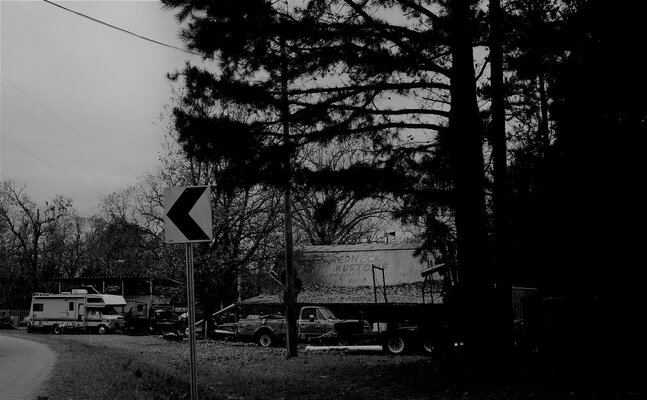
Lastly, "local color" in black & white:
.JPG")
There are (at least) two sources of TAT tracks, Sam Correro (transamtrail.com) and GPSKevin (gpskevinadventurerides.com). Like I did for Wyoming, I bought Sam’s Arkansas TAT gpx download. I suspect Sam’s and Kevin’s tracks are equally good, but can’t say with authority; Sam’s worked for me even though there are a few roads that need to be updated.
Day One was a leisurely ride from Austin to Bossier City on US 79, etc., thus avoiding any scent of an interstate highway until arriving in Bossier. After checking into my motel, I had a steak dinner nearby. Not a bad way to spend a nice fall day out riding - the temperatures ranged from 65-75F.
Day Two was another good, cool, easy day trending NE from Bossier City to Helena, AR, adjacent to the Mississippi River, and hence in the Mississippi Delta.
The Arkansas TAT, generally dirt and gravel roads from Helena through the Ozarks to the OK state line, is around 450 miles, and due to fall’s shorter days, it would probably take 2-1/2 days. After the fact, my trip computer gave my average speed as just over 30MPH for the duration, so it’s not a high speed run at all. Some wet sections, monitoring and keeping on Sam’s track, and dense fog in the mountains meant it was slow. Fine with me.
The ARTAT begins on the edge of Helena on old Little Rock Rd – narrow, unmarked, worn, little used asphalt. After a short distance, you turn off and begin the wandering route through delta farmland. There were around half a dozen water crossings during the day, which were just long mudholes due to the flat land draining slowly. The mud was not particularly slick, nor were muddy roads the norm – usually just dry, packed dirt. The route crossed the White River adjacent to downtown Clarendon, but the old bridge had been demolished, so a short detour was required. Another time, the track ended at a turn and a locked Wildlife Management Area gate. Rather than turn around, I stayed on the road and hoped that it would allow me to connect to I-40. It did, but at another locked gate. But there was just enough room to maneuver the GS into a small gully, make a turn, climb through a gap between the fence and gate, and end up in a roadside rest area on the interstate. Then another detour back to connect to the TAT. The first day ended near Clinton and a waiting motel.
The second day on the TAT got me farther west and a short side trip took me to Alma for the night. The day was spent climbing up and down the Ozarks in dense fog. Very enjoyable ride, although at higher elevations the fog and deep leaves meant picking out the road made it very slow. Just keep it between the trees…
My last day on TAT was primarily focused on seeing a couple of landmarks – Warloop Rd and Natural Dam. Very pretty riding in cooling weather since a cold front was moving in. Warloop Rd has become somewhat famous for its rutted, rocky, boulder-strewn descent into Mountainburg. Add a thick carpet of wet leaves, and there’s not a lot to discern a good line. Just try to avoid the longer drop-offs at the outcrop ledges. I probably allowed downhill momentum to carry me a little fasther than I should have, but was generally successful until the very end, when the back end slid and my left pannier collided with the very last boulder. Down we went. As usual, get up, dust off, evaluate who might come around and help lift the GS. Why no one, of course! So I removed my helmet, gloves, and jacket and took a water break. Then it was slide the GS around to align with the road and back into it for walking it upright. No big deal this time. Geared up and rode to town for lunch. Afterwards, a trip out to Natural Dam, then the end of the TAT and turn for Dallas. Played with light on the following photos:
The planned route overlaid on Google:
Official start of the ARTAT:
Looking down the road:
Delta cotton bolls and rolls:
One of the great dirt roads in the delta:
Early water crossing:
One of Trump's casino write-offs:
Fall scene:
Old bridge:
Lake reflection:
River reflection:
Truck with tree growing through the bed:
Leafy, boulder-edged road on White Rock Mountain:
Midway check-in:
The Warloop Rd turnoff:
Warloop Rd turnoff - I guess we'll see if it's really a dead end:
Start of descent on Warloop - doesn't look like a dead end...:
Looking up from near the bottom:
GS taking a break after sliding over the rocks and bumping that Easter Island lookalike:
After standing it back up - that boulder still looks angry:
Lastly, "local color" in black & white:
Attachments

Last edited:
