• Welcome to the Two Wheeled Texans community! Feel free to hang out and lurk as long as you like. However, we would like to encourage you to register so that you can join the community and use the numerous features on the site. After registering, don't forget to post up an introduction!

.

Jarrett...pick up a local Kerrville/Kerr Co map...its got all the lil goatpaths on it...
Across the river 27 at Old Ingram Lp on Indian Creek..Freedom Trail...Bear Creek.. Shepperd Rees bac to LP98
Kelly Creek out n bac...others too

Out on Tx39 Fisher Ranch out n bac
(the local map shows it connecting but not true)
Several gravel out n bac on FM1340

Off of Tx16S theres beautiful Upper Turtle Creek & all the roads off of it...out n bac

From FM2771 theres Fall Creek out n bac

From hwy173 theres Eagle Ridge & Verde Creek out n bac

& dont forget Lazy Valley.. McDonald Lp & Stoneleigh between FM1341 & 27...
North of town from FM783 ..McCullough Ranch/Zener Ahrens.. White Oak.. Fielder & Friederick Rds

Some of these may be a bit far on that bike...but plenty are closeby
 
Last edited:
  • Park Road 19
    0.2 mi

  • Turn left onto TX-173 N
    0.6 mi

  • Turn left onto Riverhill Blvd
    1.0 mi

  • Turn left onto TX-16 S
    2.1 mi

  • Turn right onto Wallace Creek Rd
    16.0 mi

  • Turn right
    19.7 mi

  • Turn right
    20.5 mi

  • Turn left
    20.9 mi

  • Turn right onto Real Lake House Rd S
    21.5 mi

  • Turn right onto Upper Turtle Creek Rd
    24.4 mi

  • Turn left onto W Spicer Dr/Spicer Loop
    29.9 mi

  • Turn left to stay on W Spicer Dr/Spicer Loop
    30.3 mi

  • Turn right onto E Spicer Dr/Spicer Loop
    30.8 mi

  • Turn right onto Derrek Rd S
    30.9 mi

  • Turn left onto Harville Rd
    31.4 mi

  • Turn left onto TX-16 N
    32.7 mi

  • Turn left onto Hoof Beat Trail
    33.1 mi

  • Turn left onto Camino Real
    34.5 mi

  • Turn right onto Lillian Dr
    35.7 mi

  • Turn left onto Kerrville S Dr
    36.4 mi

  • Continue onto Kerrville South Dr S
    37.3 mi

  • Continue onto Calcote Rd
    37.3 mi

  • Turn left onto Calcote Dr
    37.8 mi

  • Turn right onto Ranchero Rd
    38.0 mi

  • Turn left onto TX-16 N/Sidney Baker S
    40.6 mi

  • Turn right onto TX-173 S
    41.0 mi

  • Turn right onto State Park Rd 19
    43.0 mi

  • Slight right to stay on State Park Rd 19
    43.2 mi

  • Slight left onto Park Rd 19 E
    43.5 mi
Collapse Cuesheet
 
That trip to keeses bbq for breakfast is 24 miles one way. I guess that pushing the range for 50 miles?
 
Yeah, plus my brother is wanting to do a ride North that morning. If he changes his mind on that, I'll be there but I suspect he won't.


So your saying it can make it without a recharge? (50 miles)
Do you have a line cord to charge it like you were talking from the restaurant. I bet they would allow you to, especially if you gave them a five-er $. But I see you have plans.
 
That is some miles
Clay...youre not reading it right....each mileeage post is like a pin...so 1st pin is .02mi...2nd at .06 (.04 between post)
The total accumulated miles for the trip is 44ish
Jarrett..
I havent been on all of those roads.... & keep in mind...some may be gated

Sent from my LGL62VL using Tapatalk
 
Go a little further out to Medina and Leakey and you will find some nice roads. Some of the best in Texas and the nation on some reviews. Check into the Three Sisters route in that area and you will find some beautiful territory as well as some excellent roads. Twists, turns, good elevation changes though some canyons. That area of Texas is superb. You can also look a little closer down towards Boerne, Bandera, and I believe the Waring area for some nice country FM roads as well.
 
I can only comment on paved options, don’t intentionally do much dirt on my FJR.

Loop 1: West on 27 from the park through Kerrville. North on 783/Harper Rd. Right on White Oak. Stay straight into Morris Ranch when White Oak goes left. Continue to Hwy 16, optional right on Alfred Petsch to 16. Turn south on 16 back to Kerrville. I haven’t mapped it, this loop is probably at your range limit.

Loop2: North on 534 from the park. East on Fm1341 to Comfort. Fancy cup of coffee at Hi’s in Comfort (opens 8am). Return on Tx27 back to Kerrville.
 
How long does it take to recharge? Go out to Medina or Bandera and find some place to eat and plug the bike in and charge up some?
 
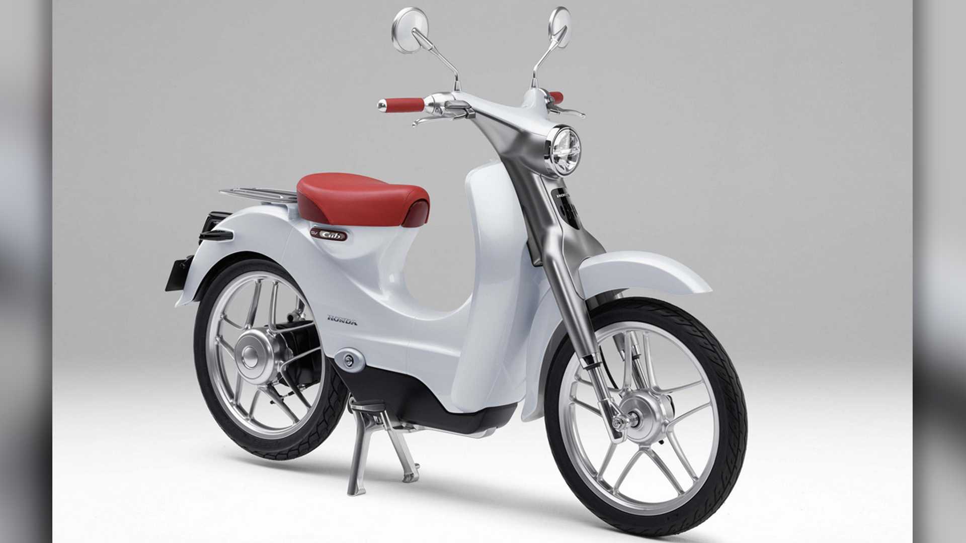
Too bad there is no electric equivalent to an MSR gas can. Bet there are stations to charge in the area along the routes. It's Kerrville.

I like riding around Lukenbach but you don't even have range to get to Fredricksburg and back. Maybe just ride along 27 to 39 to Hunt and back. If you get into any trouble, you are never too far from help. No dirt. And I would guess dirt would eat the batteries quicker than pavement. There is a charging station for Tesla (on my map) at Hunt.

How difficult is getting a campsite at the Schreiner park on short or no notice?
 
Or
I can only comment on paved options, don’t intentionally do much dirt on my FJR.

Loop 1: West on 27 from the park through Kerrville. North on 783/Harper Rd. Right on White Oak. Stay straight into Morris Ranch when White Oak goes left. Continue to Hwy 16, optional right on Alfred Petsch to 16. Turn south on 16 back to Kerrville. I haven’t mapped it, this loop is probably at your range limit.

Loop2: North on 534 from the park. East on Fm1341 to Comfort. Fancy cup of coffee at Hi’s in Comfort (opens 8am). Return on Tx27 back to Kerrville.

Or a not so fancy but tasty cuppa joe, snack, meal at Manny’s Cafe
 
Sad for an electric bike to have so limited range. I'd figure 125 to 150 miles total would be the minimum here in Merica!!!
 
Yep....local maps show connecting roads too...but not true...you come to a gate that has a Private Rd sign on these roads.
Upper Turtle Creek area is still very much worth riding though

Sent from my LGL62VL using Tapatalk
 
Back
Top