New to Texas, I have an adventure bike. Any body ride local near Waxahachie?
I've come to terms Texas don't many Forrest..lol.
Any advice for some dirt road riding?
Welcome to Texas & Ellis County
Since your new to the area, I would suggest picking up one of the Roads of Texas map books, so you can get familiar with the roads in our area & thru out the state.
Map Books are a bit old school (but can be be used to plan way points on gps if your into that type of riding), I've used them to get a good idea the different types of roads for planning a short day ride or a long multi-day ride and at end of my rides, I highlight the routes taken, so I can keep track of roads I've been on & and explore new routes.
Here's a description & link to a few of them:
The Roads of Texas - maps all the roads, from interstates to county roads to dirt roads and contains extensive indexing. No other atlas, either online or printed, contains the county roads, back roads, dirt roads, creeks and waterways, parks, lake and river access, pipelines, transmission lines, cemeteries and other landmarks that appear in The Roads of Texas. You will also find pages and pages of little-known facts and trivia on this great state as well as festival information and Texas historical tidbits.
The Roads of Texas
www.texasmapstore.com
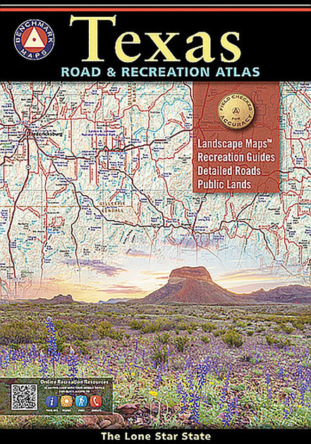
Texas Road & Recreation Atlas - The field-checked Landscape Maps reveal back roads landforms with amazing realism and detail, clearly showing how the state’s vast network of roads and local recreation landmarks fit into the countryside. A complete Recreation Guide provides regional maps and lists a variety of outdoor activities. Arranged by category, it is the ideal planning tool for adventures, from a simple day-trip to an extended exploration. Benchmark field-checkers drove over 25,000 miles to make sure the Texas Road & Recreation Atlas is the most accurate, comprehensive, and reliable map product ever published for The Lone Star State.
Texas Road & Recreation Atlas
www.texasmapstore.com
DeLorme Texas Atlas & Gazetteer - Relied on for the utmost in trip planning and backcountry access. This 2017, 8th edition contains topographic maps with unbeatable detail, plus gazetteer information on great places to go and things to do. Scale equals 1:400,000 or 1"=6.3 miles. Contour Interval is 200'. Each page covers 61.7 miles x 89.1 miles and has GPS tick marks, index place names and physical features. Includes 130 pages of maps, with 160 pages in all. Gazetteer categories include Amusements, Campgrounds, Freshwater fishing, Hiking, Historic sites, Hunting, Information centers, Museums, National lands, Saltwater fishing, State lands, Texas travel trails, Unique natural features, and Wildlife viewing.
Texas Atlas and Gazetteer
www.texasmapstore.com


 Feel free to hang out and lurk as long as you like. However, we would like to encourage you to


")