• Welcome to the Two Wheeled Texans community! Feel free to hang out and lurk as long as you like. However, we would like to encourage you to register so that you can join the community and use the numerous features on the site. After registering, don't forget to post up an introduction!

ETX 450 Memorial Day Ride

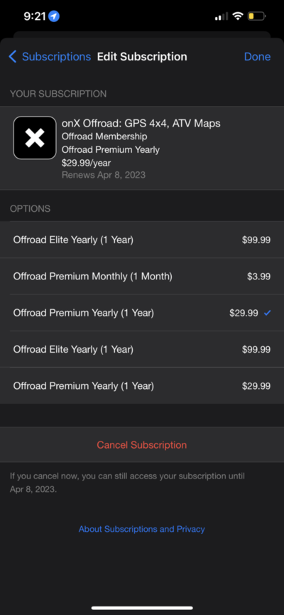
That would be great because it's an expensive app subscription.
29.99 a year is not bad
Has someone found a way to use the above files without installing the app? Maybe a way to save them as gpx files?
file:///var/mobile/Library/SMS/Attachments/fc/12/6FFC598F-6C4B-4926-AB97-F569472E3D4E/744_County_Road_1106-Rusk-TX-USA.gpx
 

Attachments

  • 6981E51B-9F23-48B1-8D47-70C9C43CF840.png
    6981E51B-9F23-48B1-8D47-70C9C43CF840.png
    147 KB · Views: 113
See if this GPX works!

file:///var/mobile/Library/SMS/Attachments/fc/12/6FFC598F-6C4B-4926-AB97-F569472E3D4E/744_County_Road_1106-Rusk-TX-USA.gpx
 
That looks like a file stored on your phone? I think you'll have to post up the file itself
744_County_Road_1106-Rusk-TX-USA.gpx
 
It’s from the Gaia GPS app.
I converted it to a gpx.

I use my iPhone 12 Pro for everything
 
How will you be incorporating this file into the original et450 tracks?
Glad to know I'm not the only one confused. According to the thread title, this is a ET450 ride, but snippets from the thread suggest it's a 110mile loop that is done in one day. Without a .gpx file to be able to compare to the original route, I'm having a hard time seeing how this ties into the ET450 at all. Hopefully someone can get it translated.
Cdowling7, I'm out of town this next week, but if you're available after that, and would like some company riding your loop again, I'd love to join you and record it as a .gpx file. Lemme know.
I bought a Garmin zumo xt will create file on there for everyone!
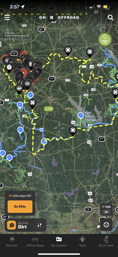
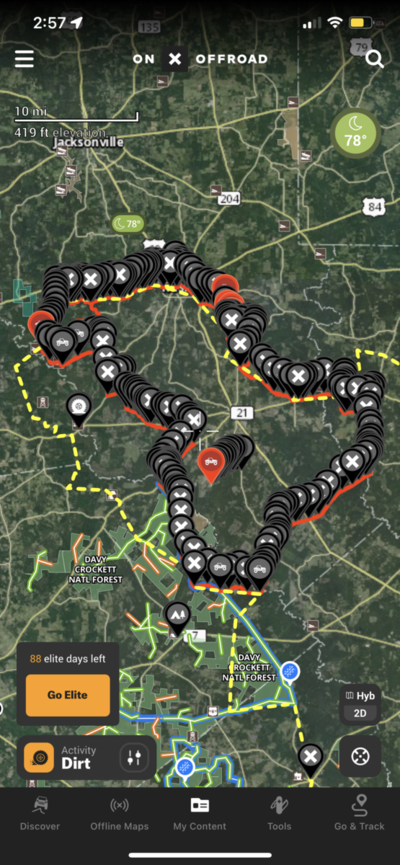
There are part of the coarse that can be incorporated with the ride and some you would just have to take a extra day.

For now it’s just the top North West corner!
 

Attachments

  • 0F922E0F-AD11-4671-ACB9-52B8F50C4957.png
    0F922E0F-AD11-4671-ACB9-52B8F50C4957.png
    1.1 MB · Views: 113
  • 8C0BE761-84D6-46D4-A39D-96834D93A340.png
    8C0BE761-84D6-46D4-A39D-96834D93A340.png
    1 MB · Views: 119
There are parts of the coarse that can be incorporated with the ride and some you would just have to take a extra day.

Whaaaaaaat? "Having" to take another day to ride more of what I've never ridden before. Oh the Horror!

Okay!
 
I bought a Garmin zumo xt will create file on there for everyone!
There are part of the coarse that can be incorporated with the ride and some you would just have to take a extra day.

For now it’s just the top North West corner!
Did you ever get a complete “new” ET450 route made?

We are planning to do it March 11-12 and looking to see any route updates.
 
Back
Top